Oregon Trail

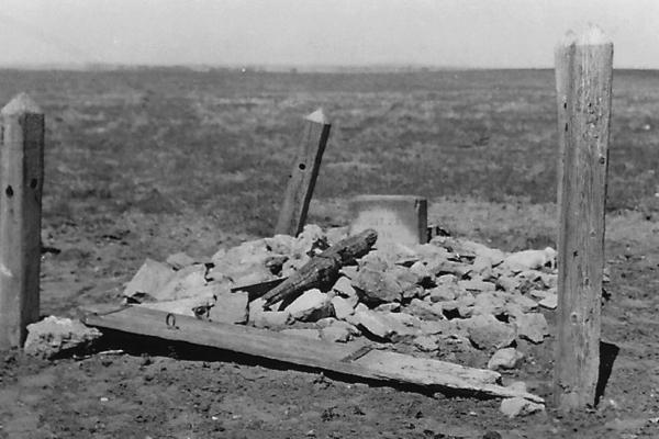
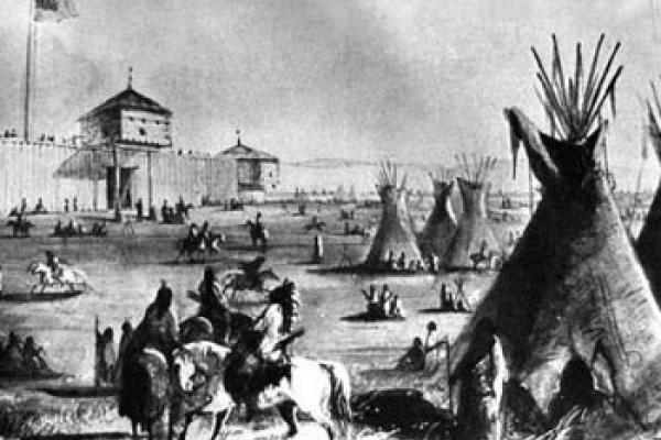
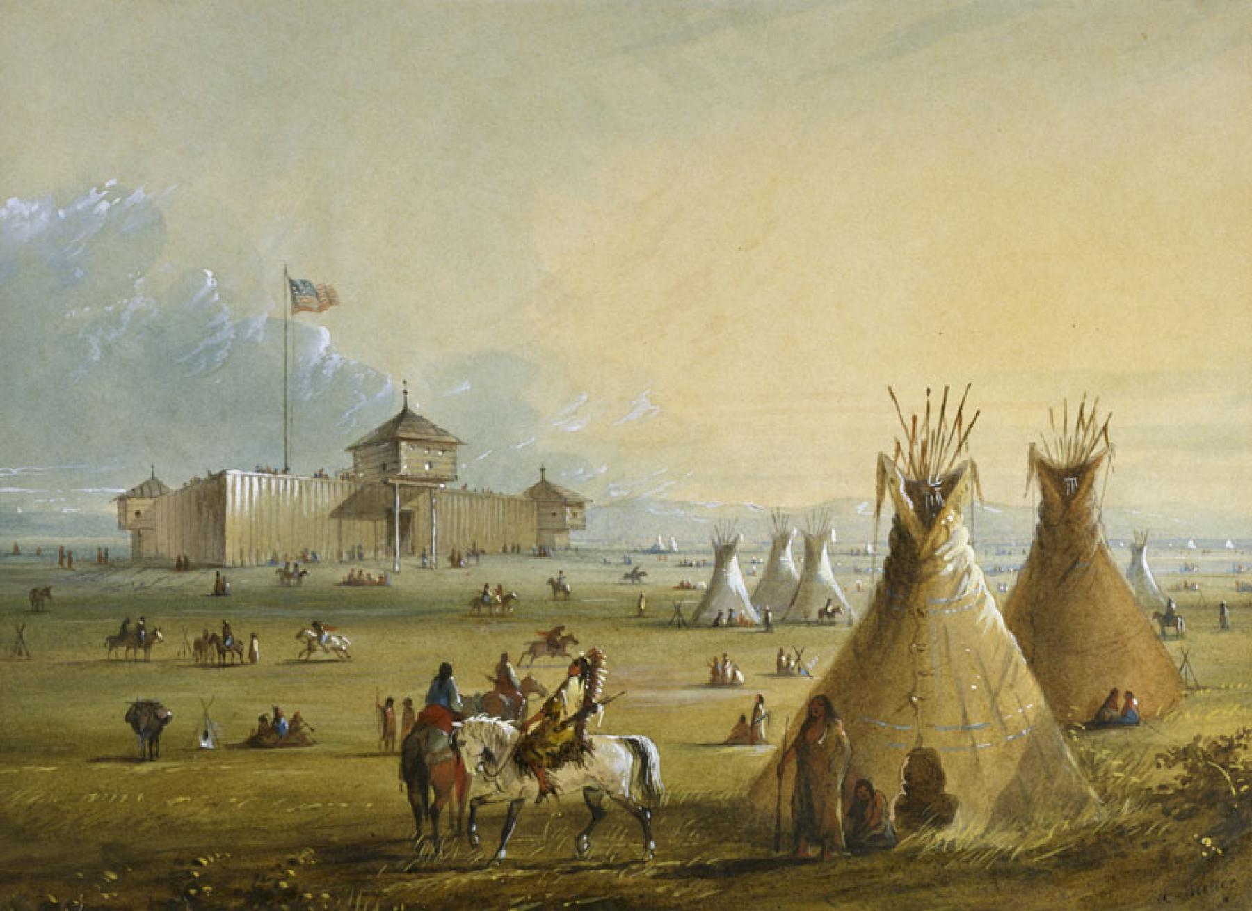
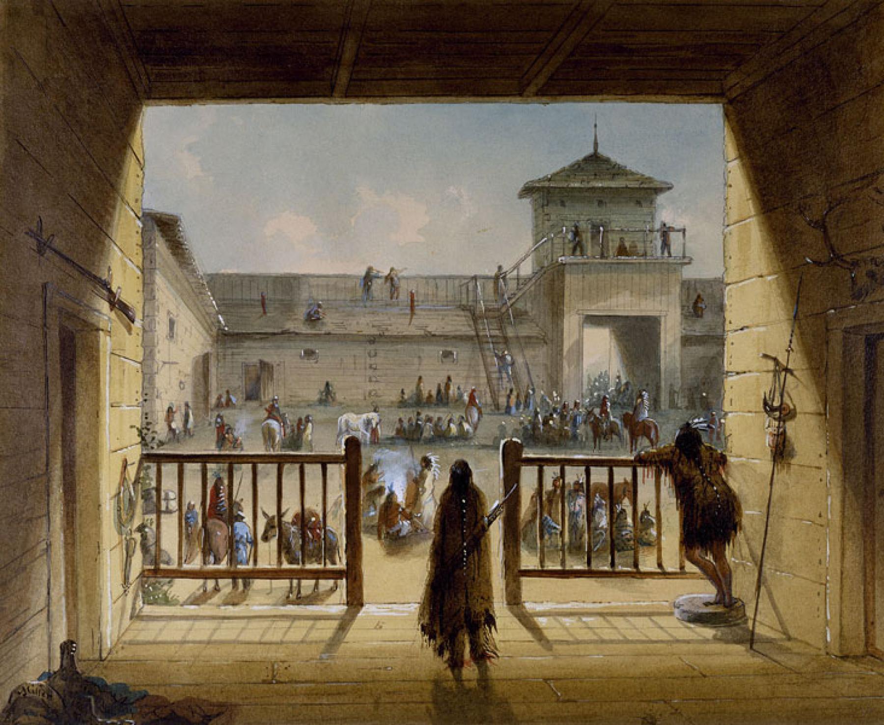
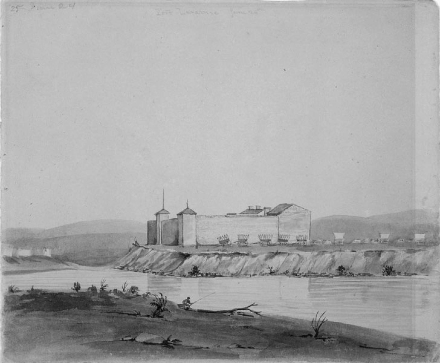
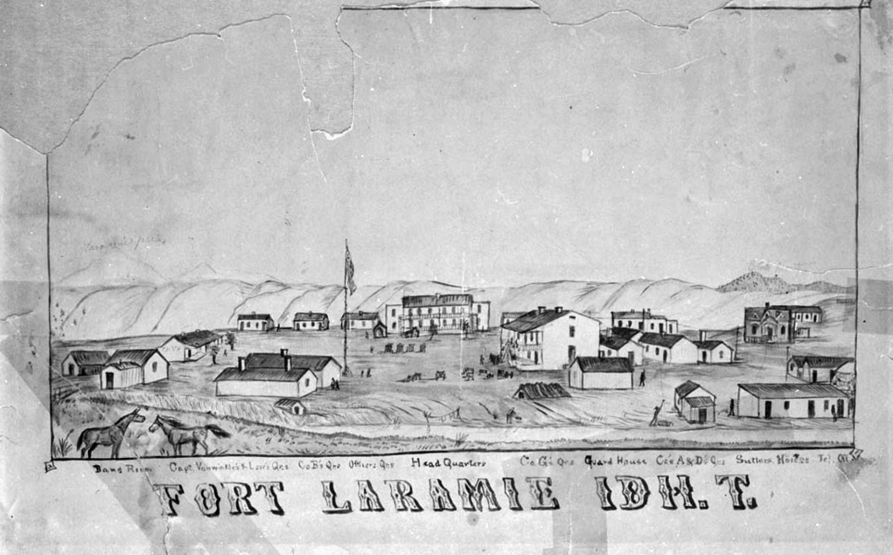
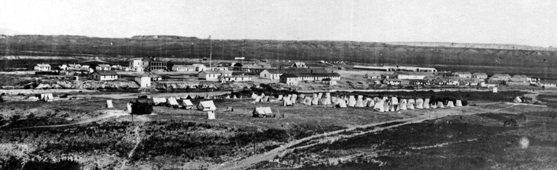
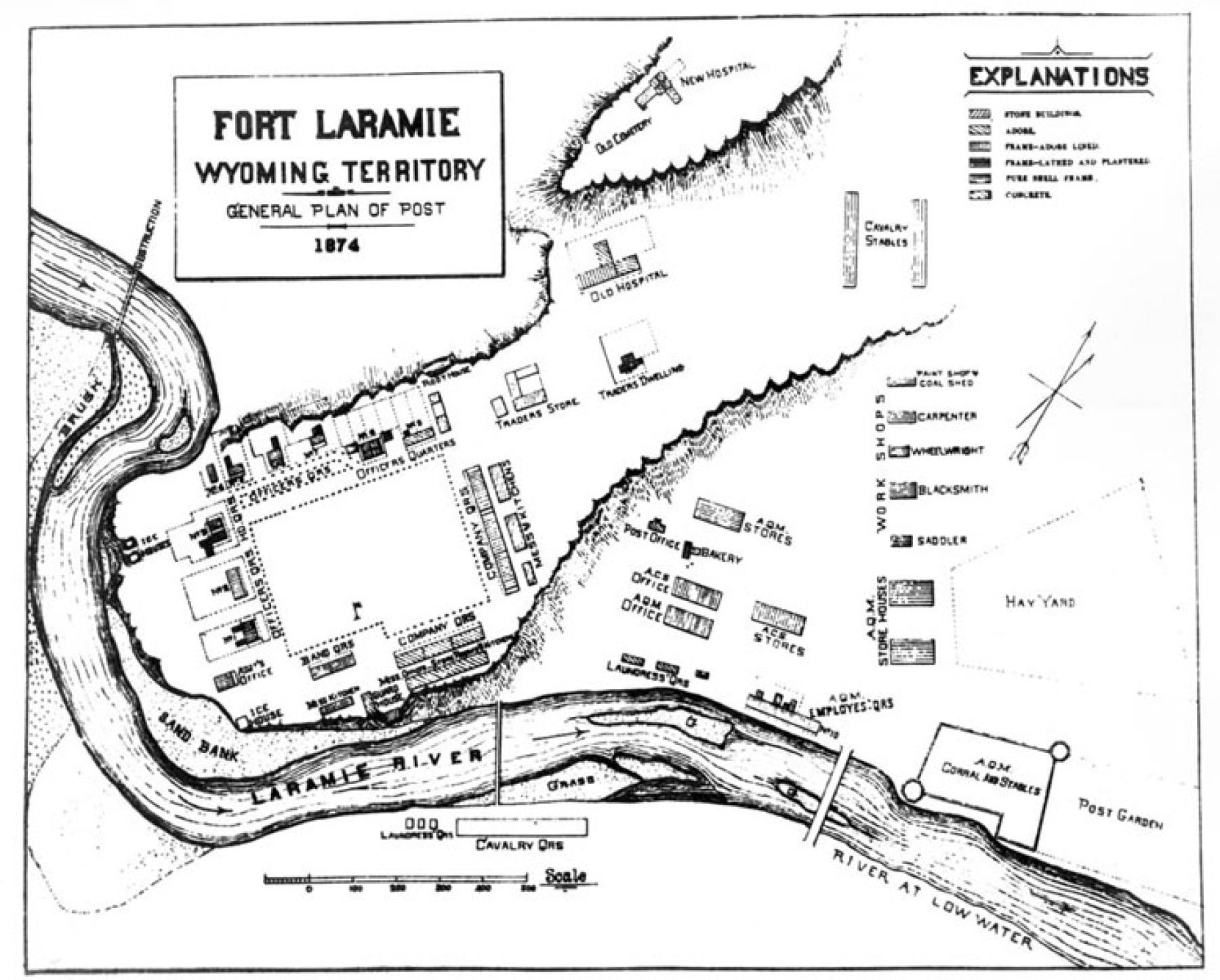
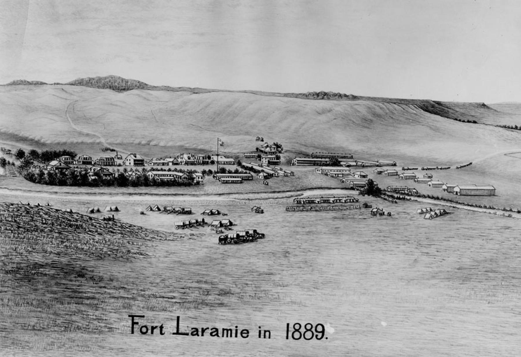
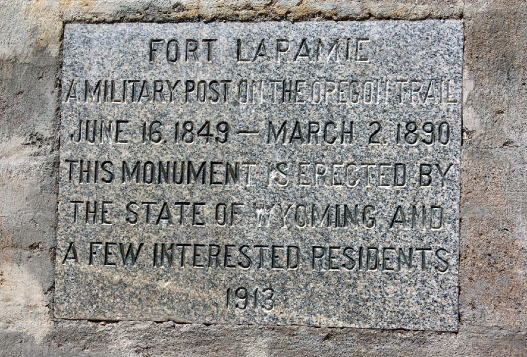
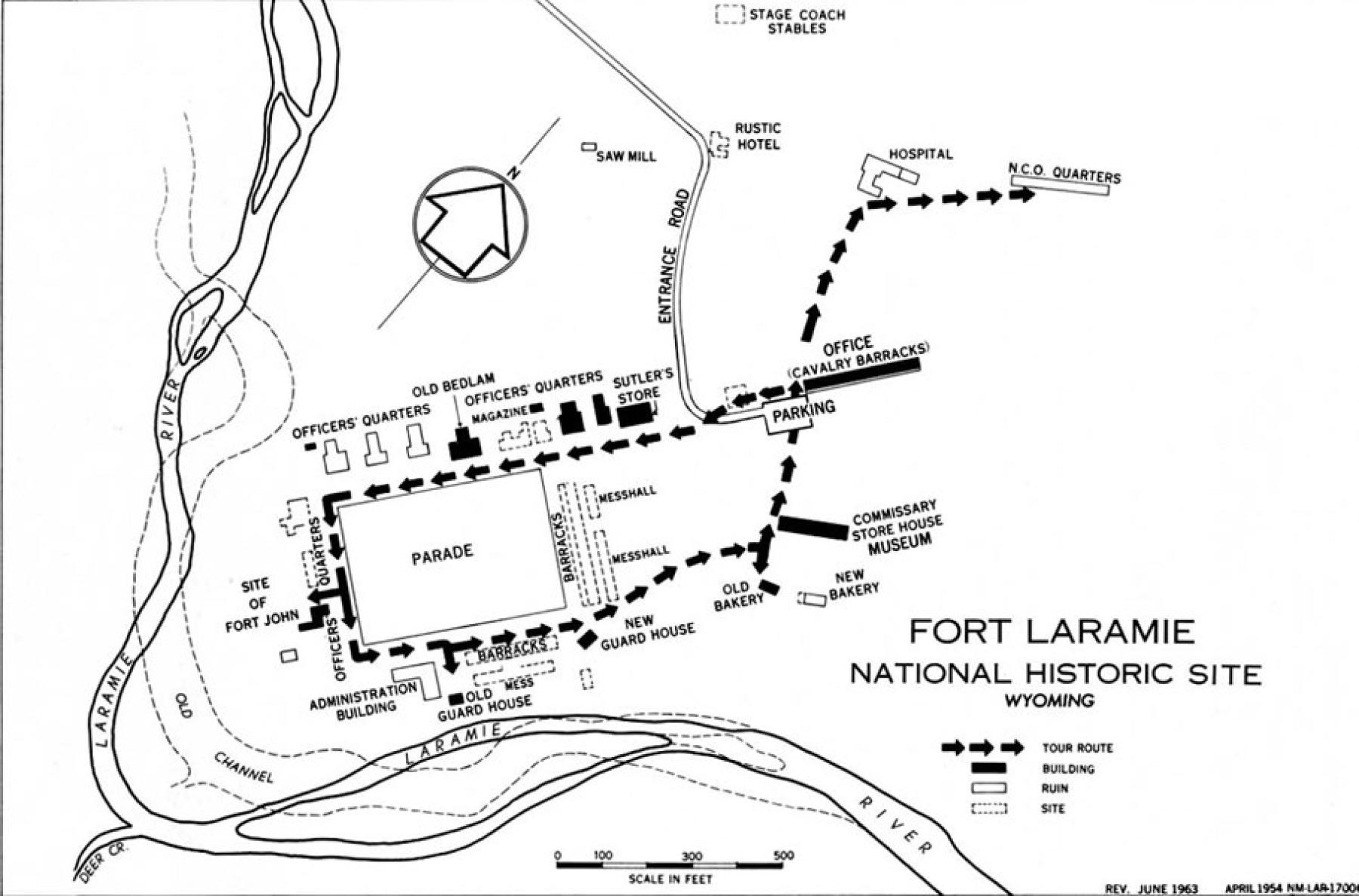
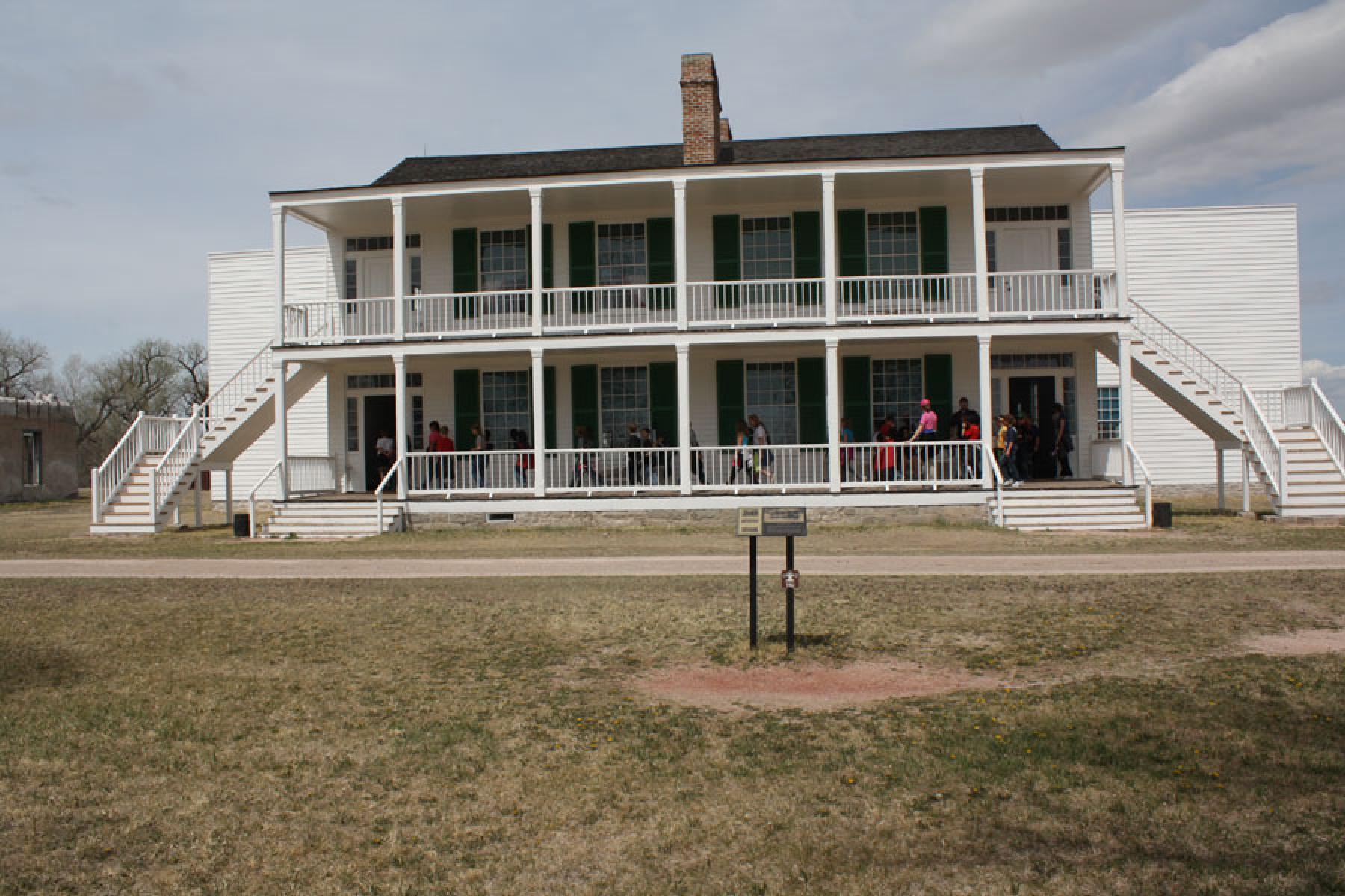
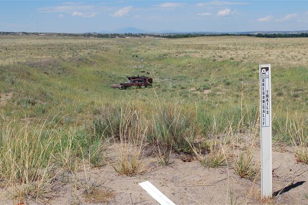
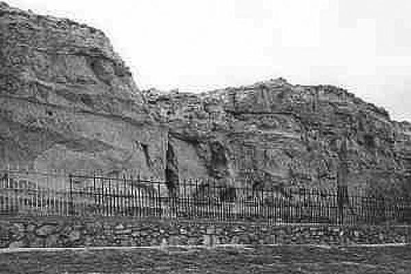
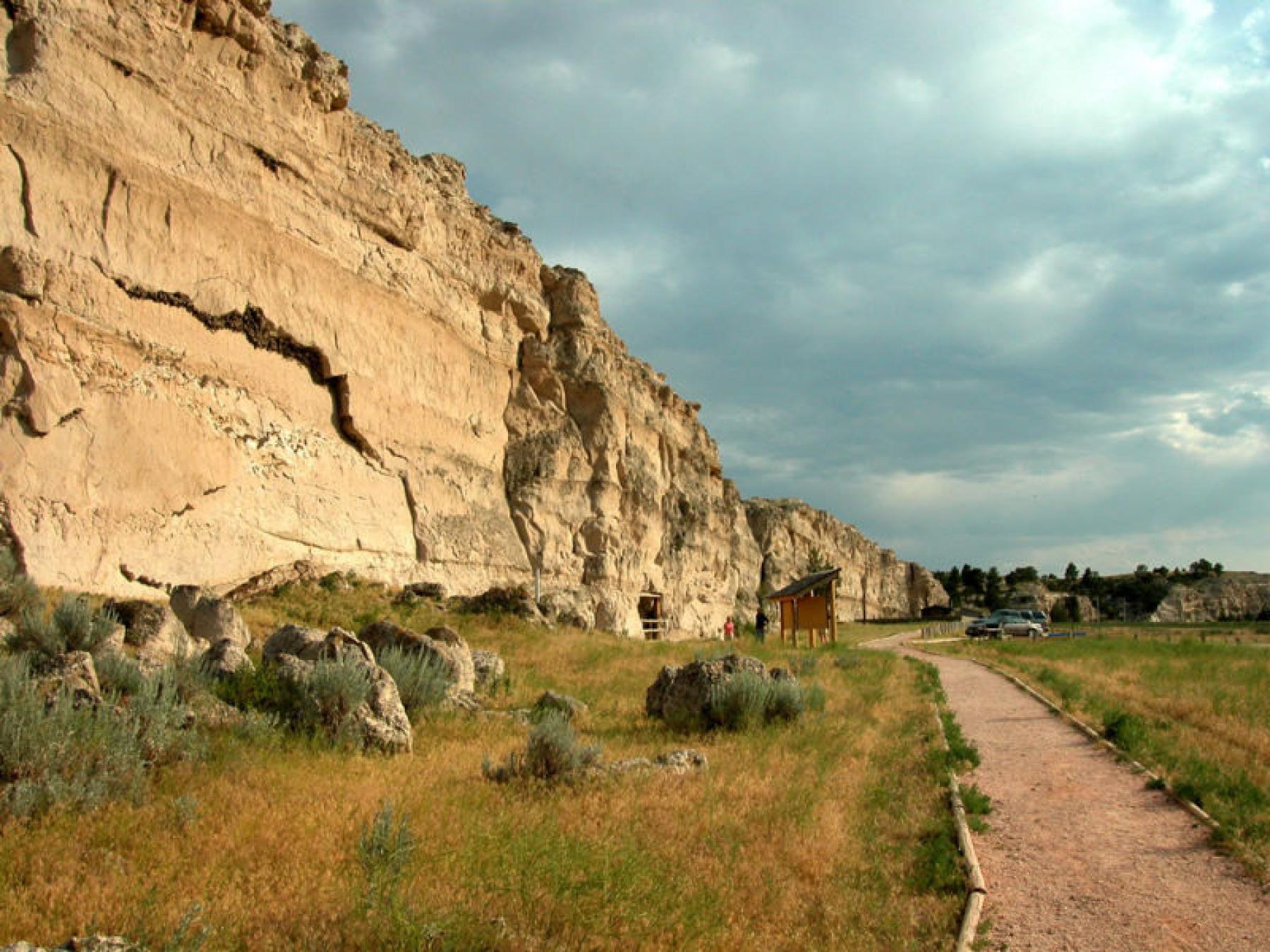
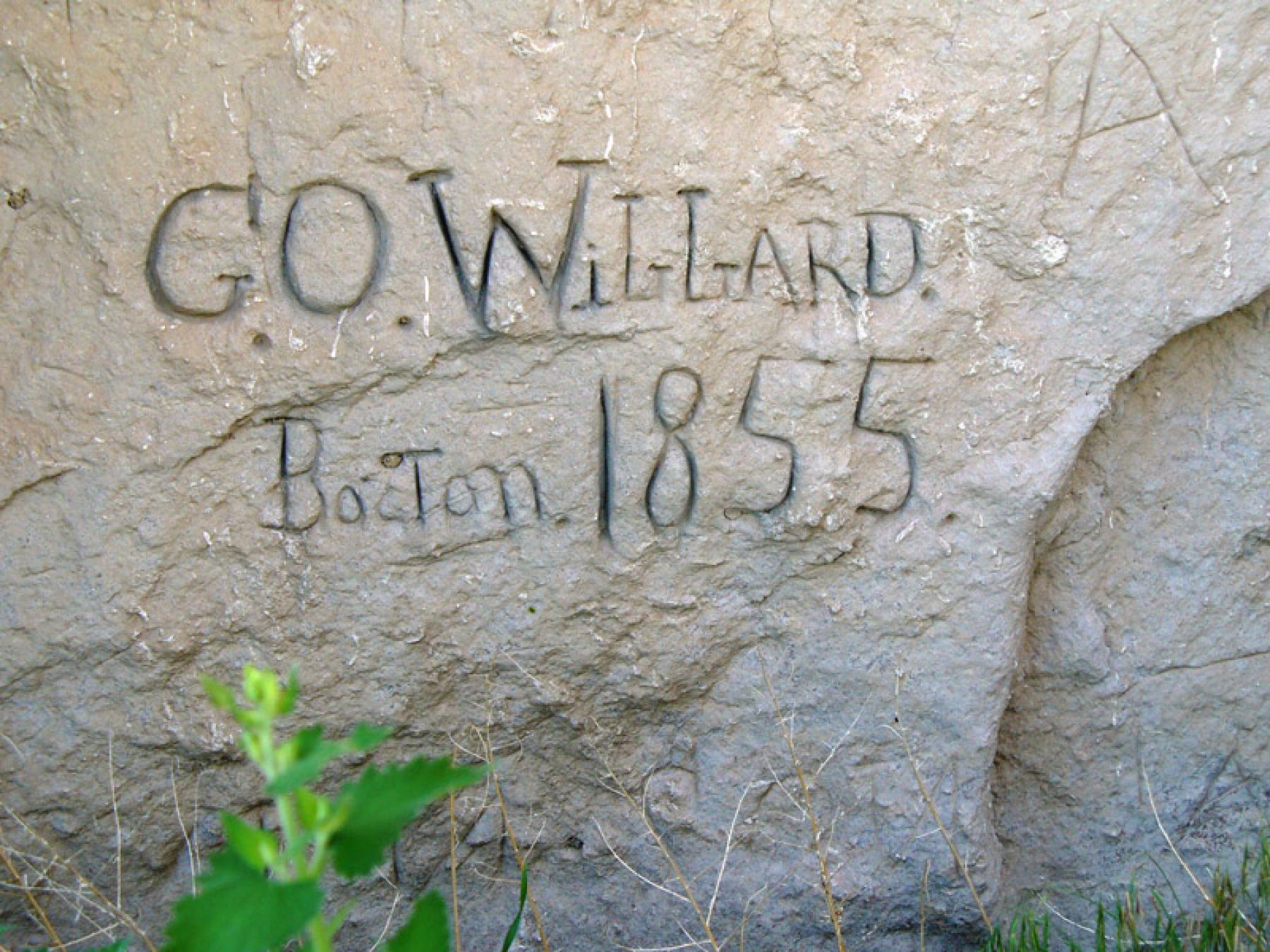
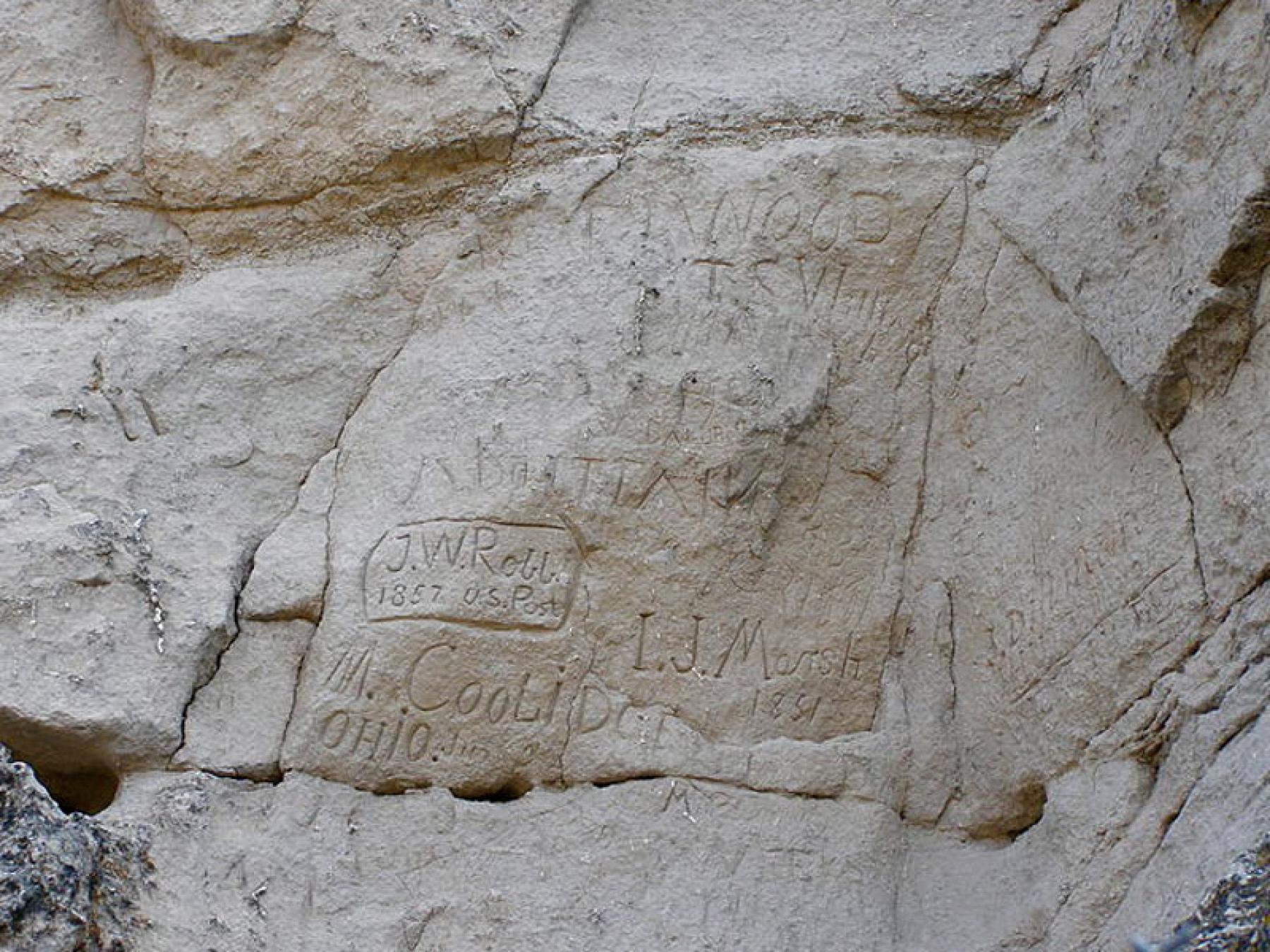
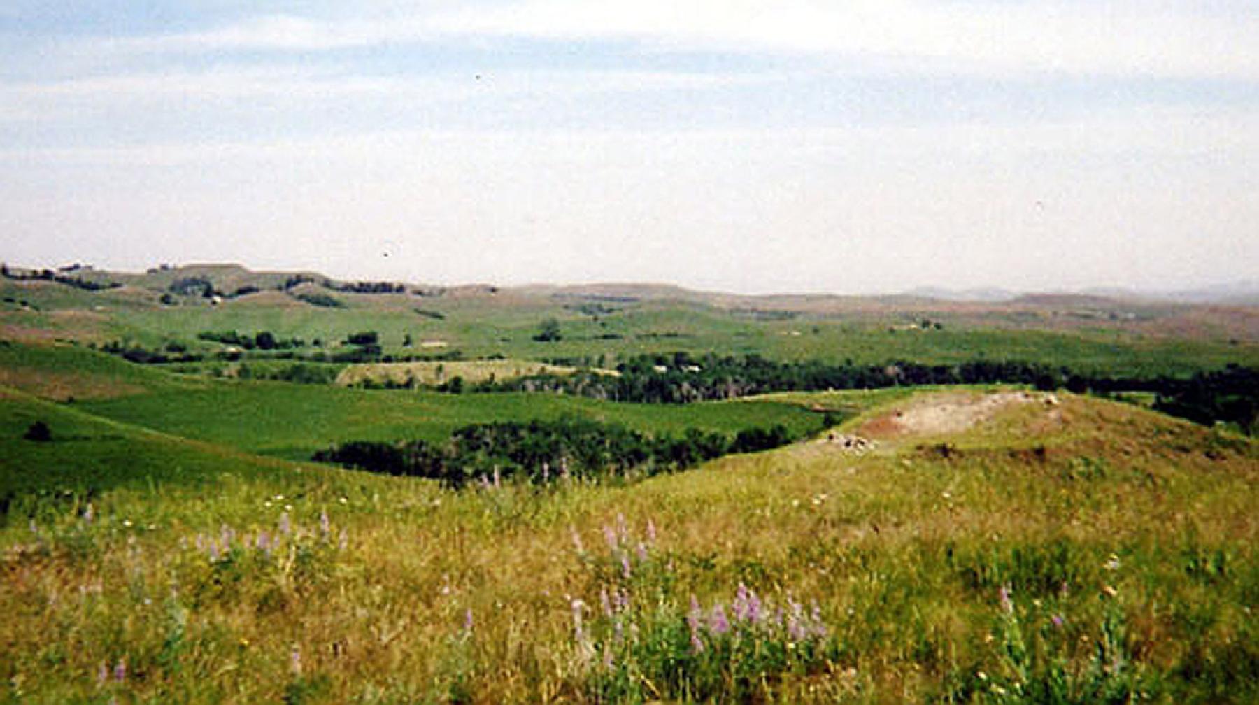
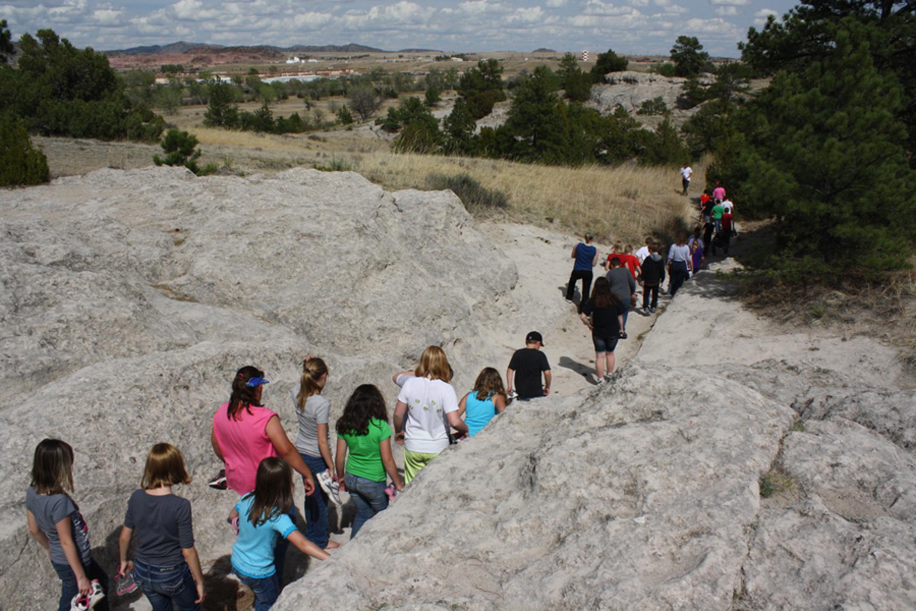
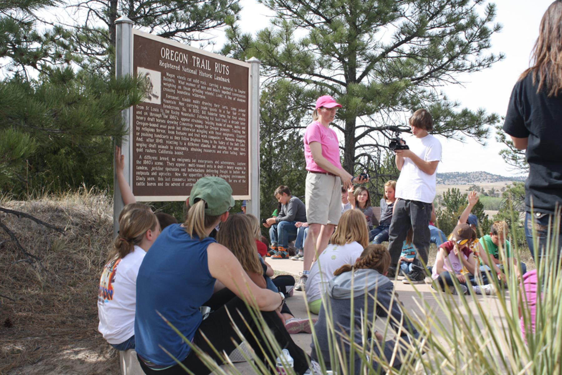
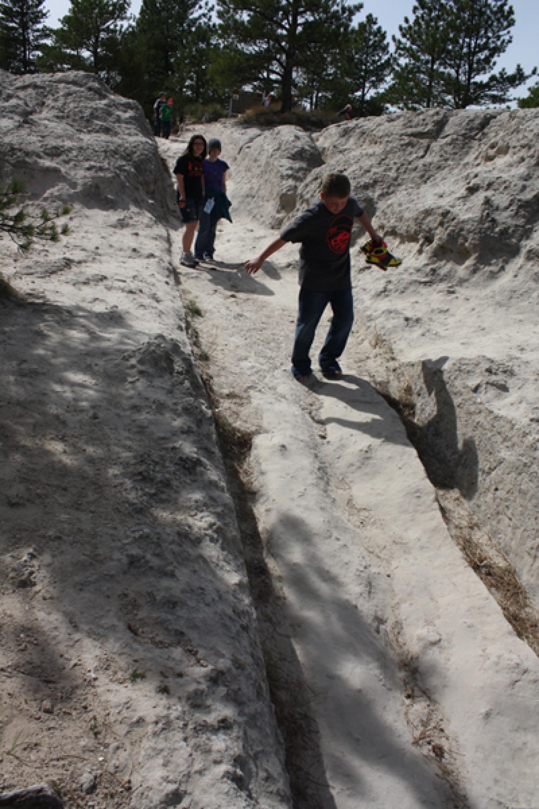
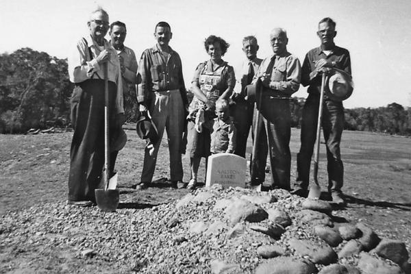
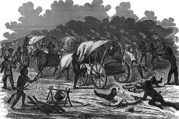
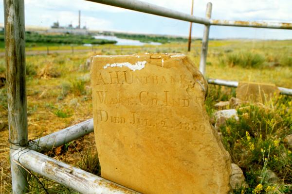
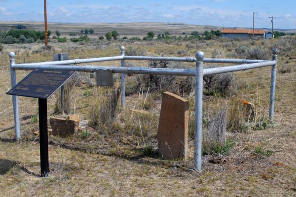
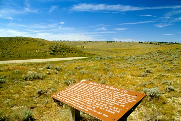
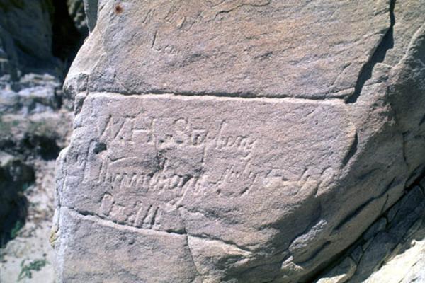
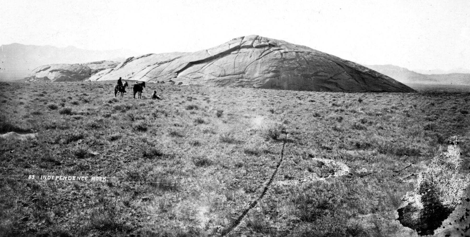
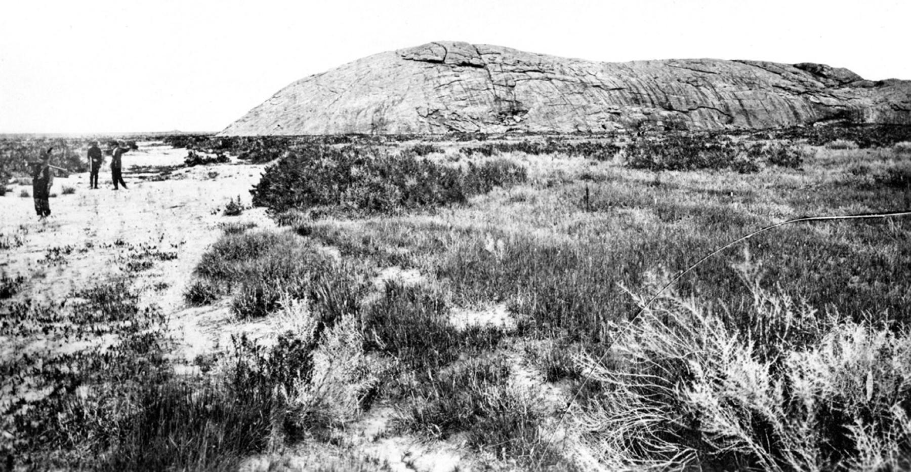
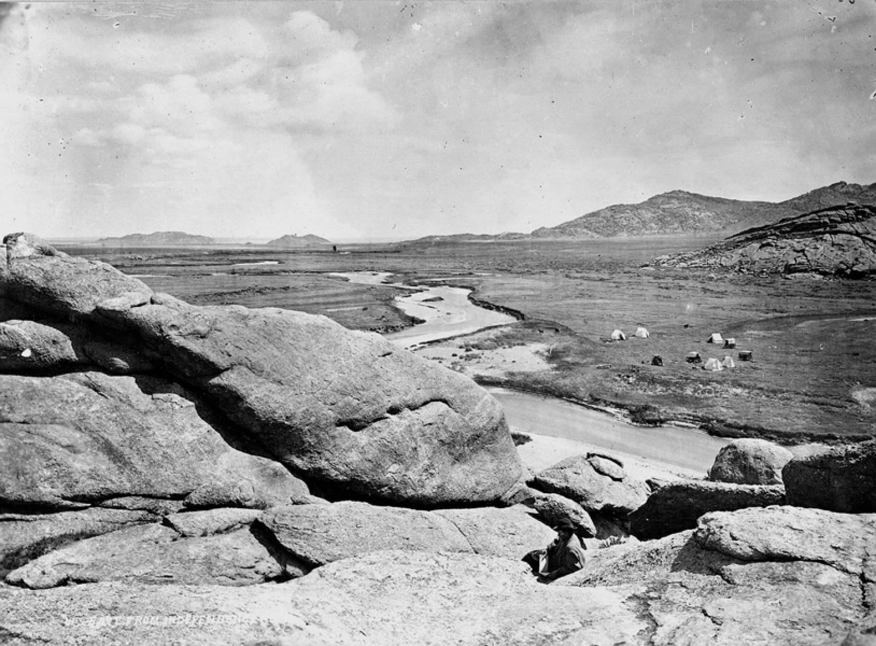
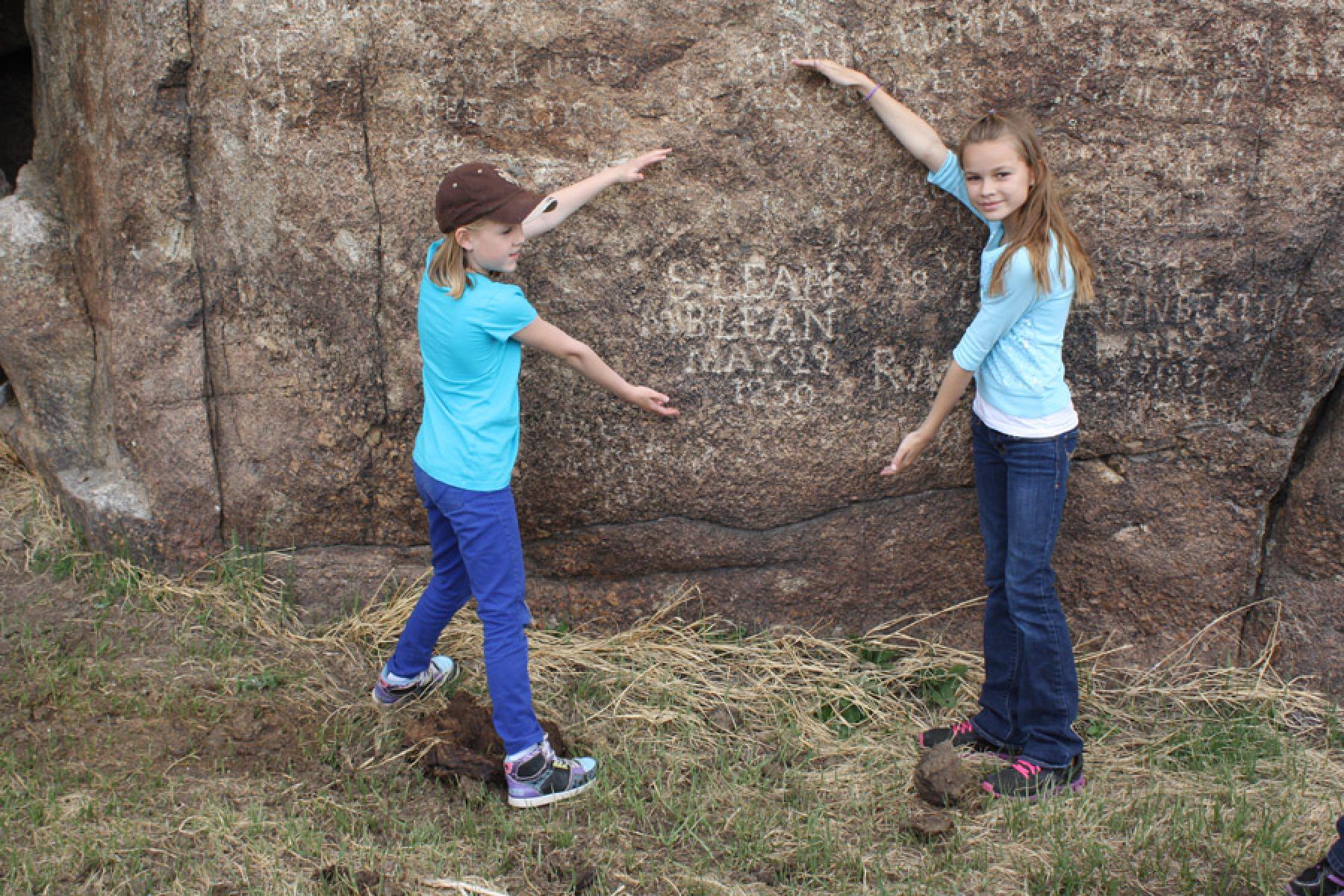
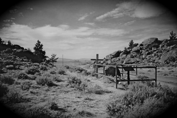
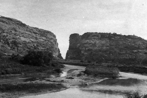
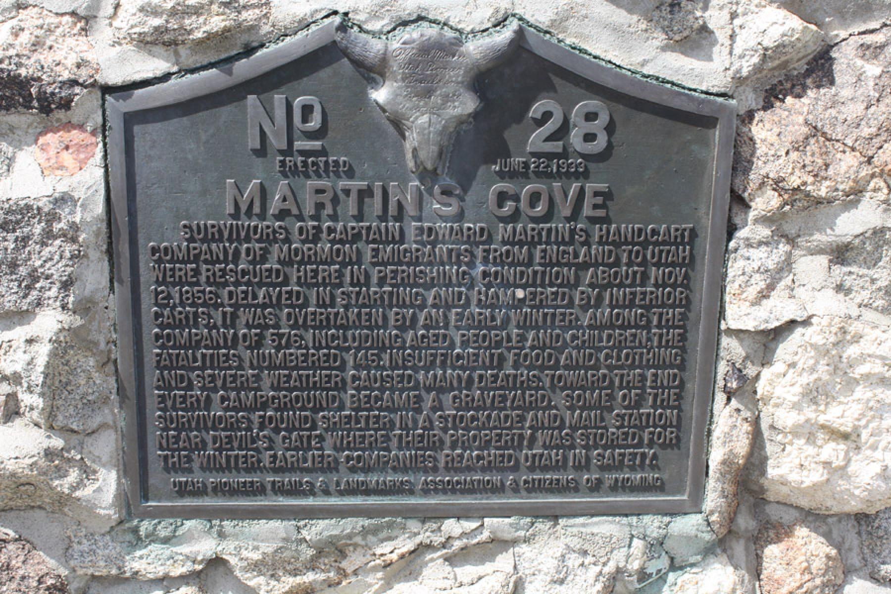
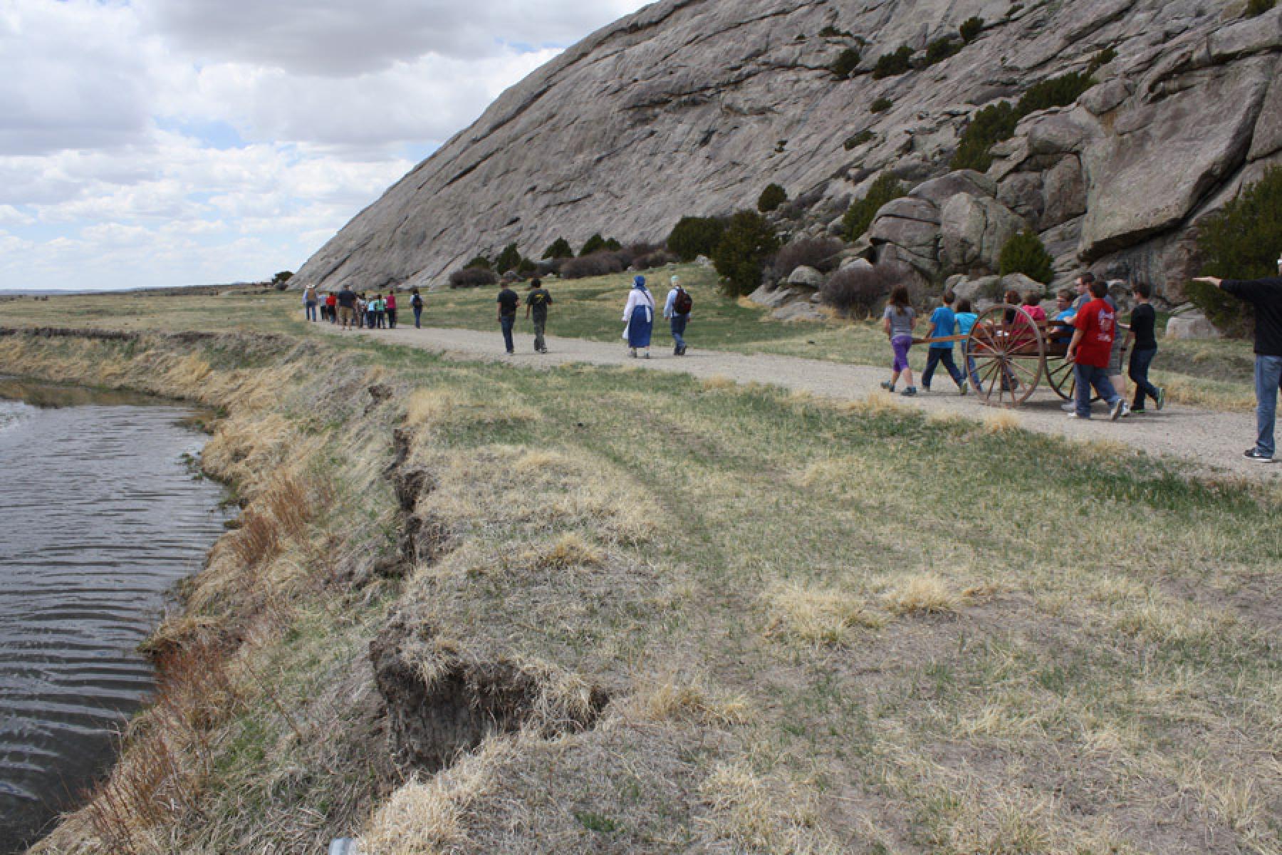
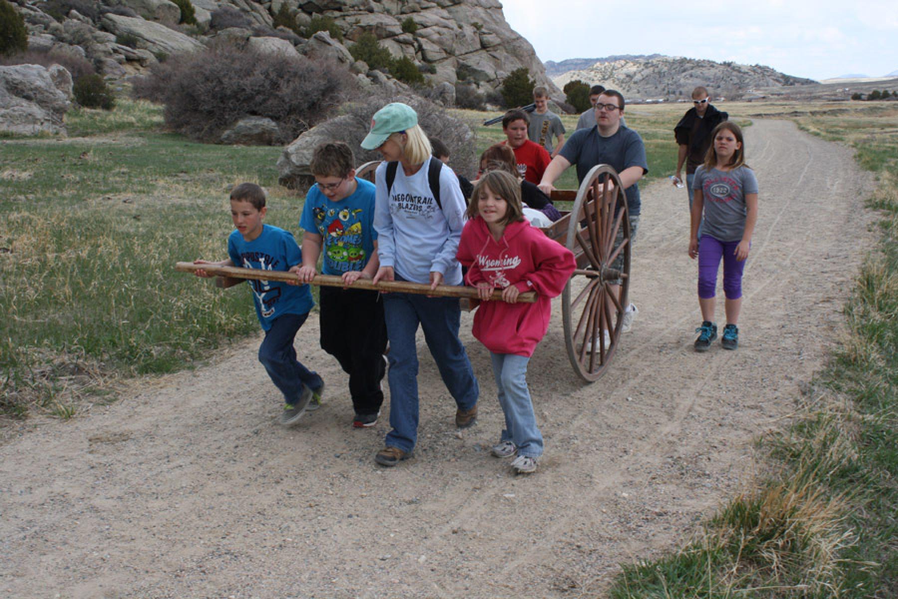
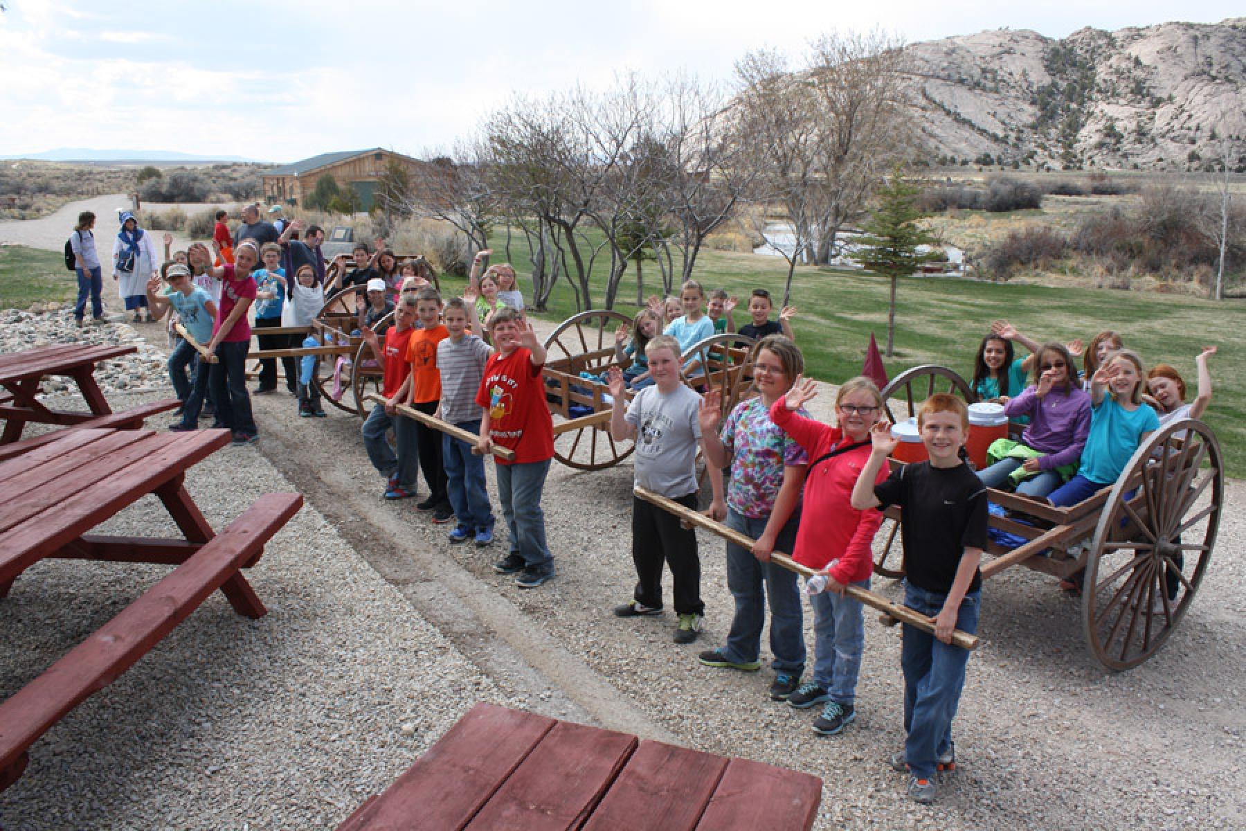
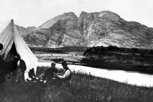
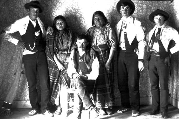
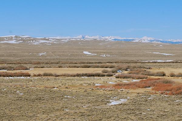
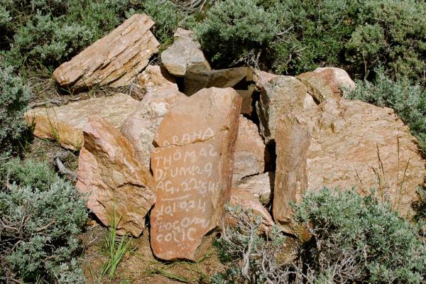
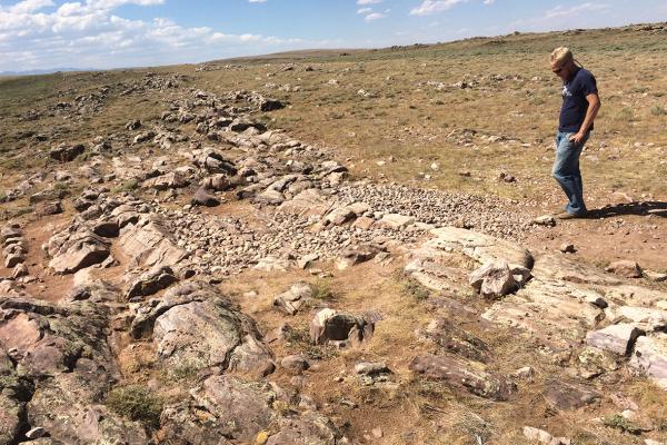
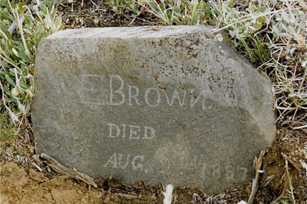
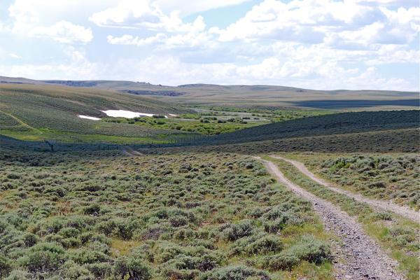
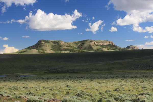
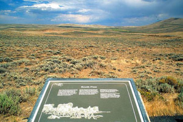
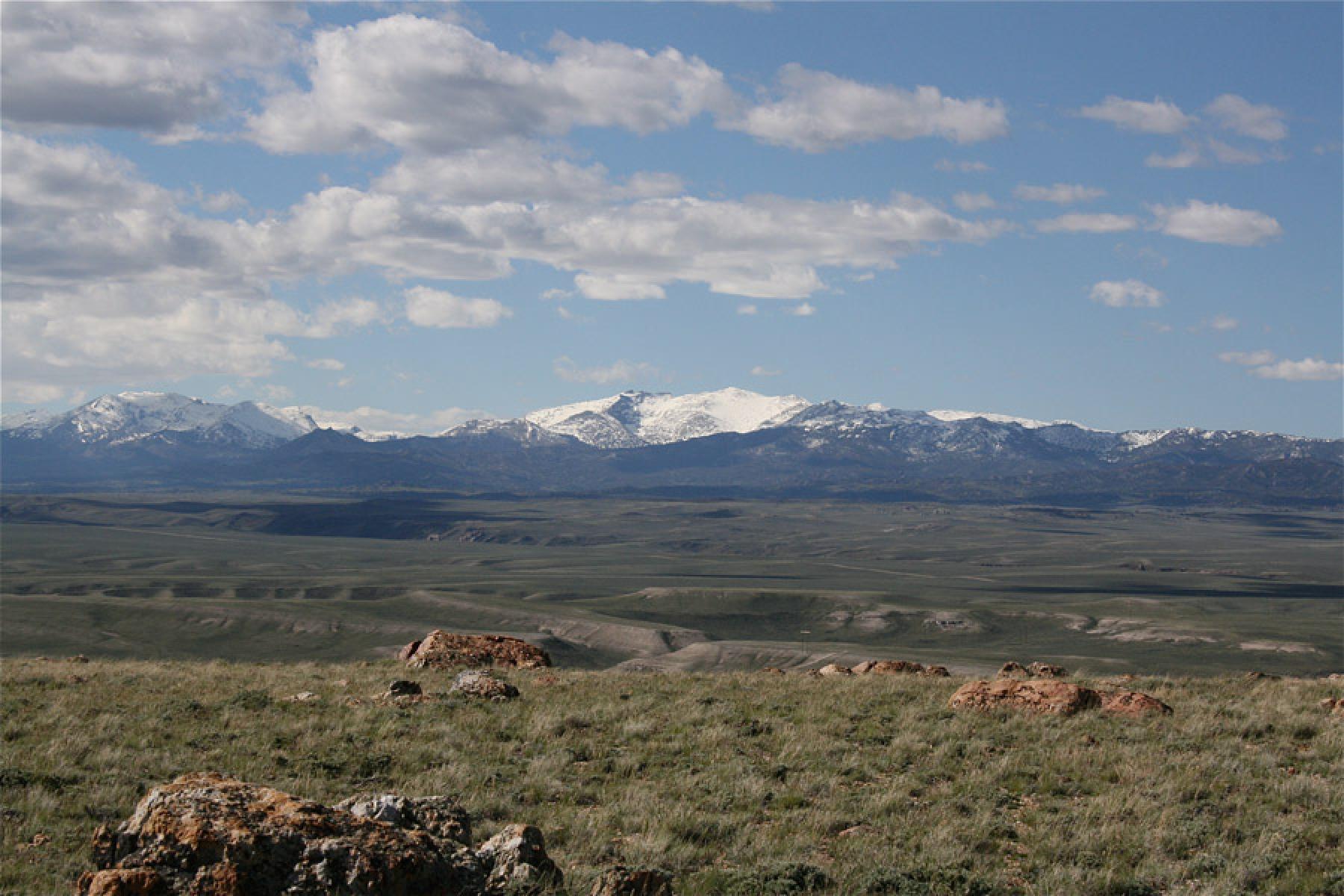
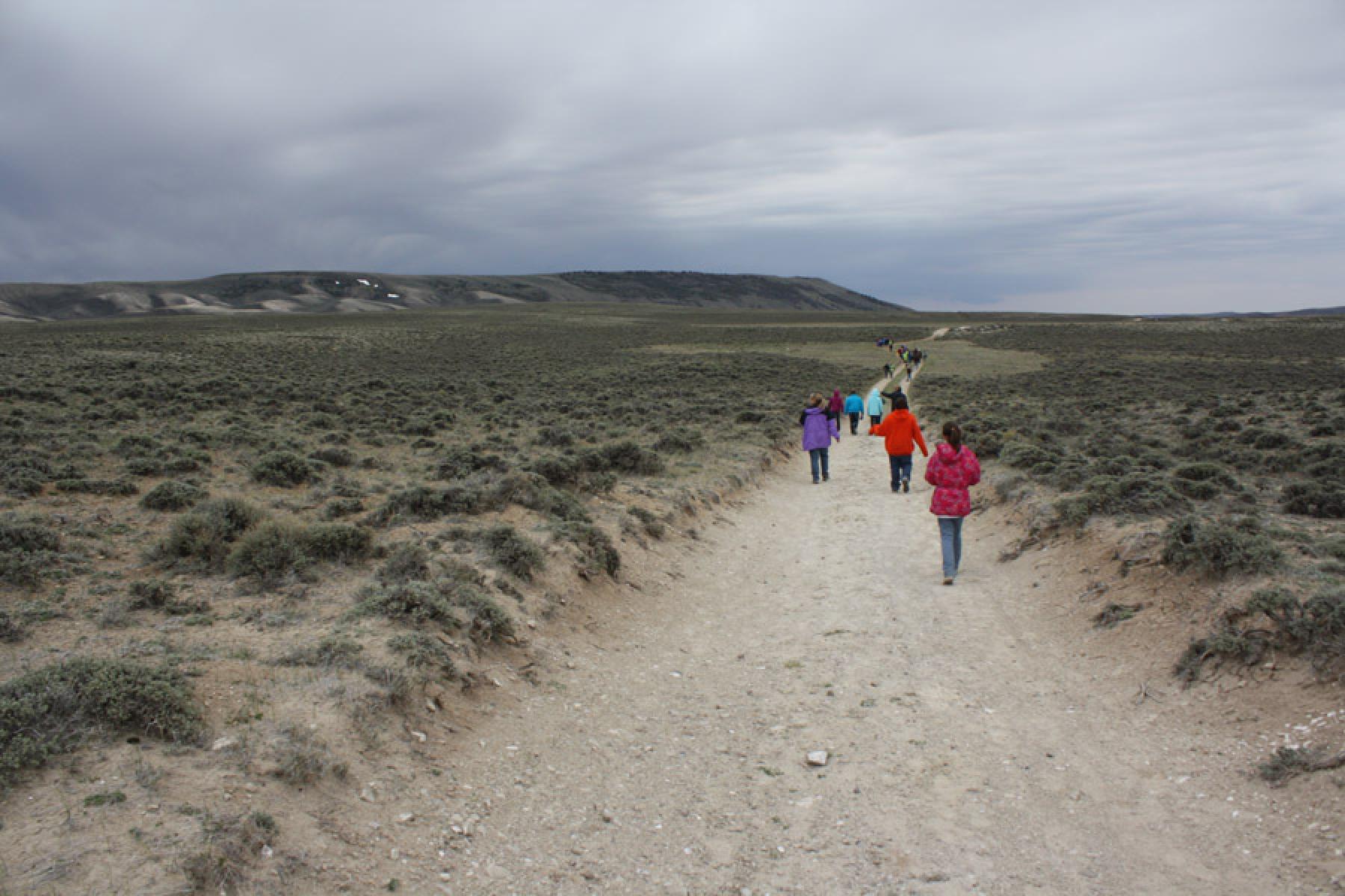
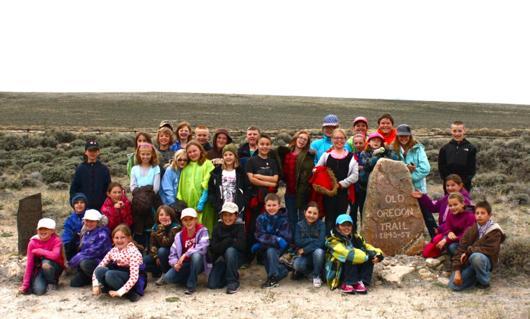
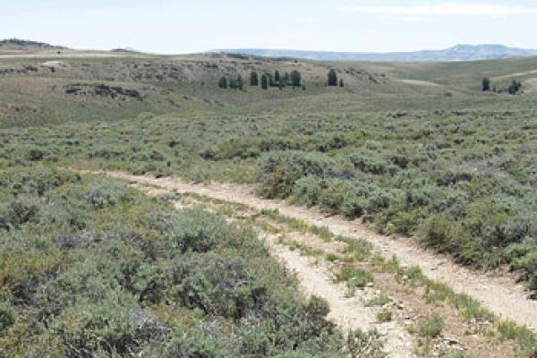
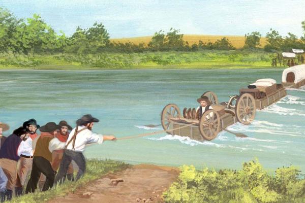
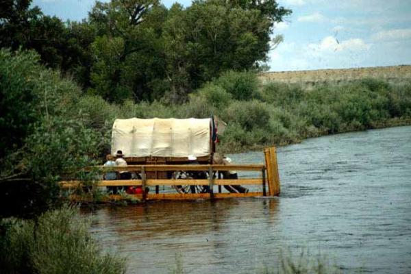
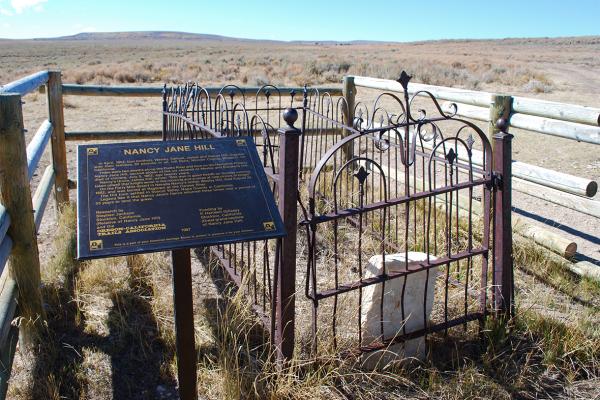
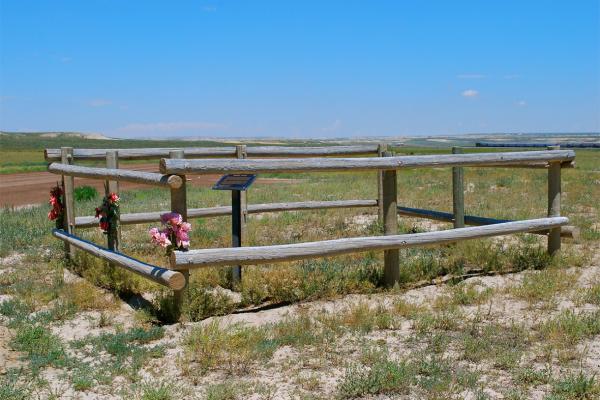
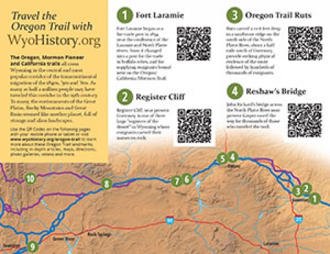
The Oregon, Mormon Pioneer and California trails all cross Wyoming in the central and most popular corridor of the transcontinental migration of the 1840s, ’50s and ’60s. 

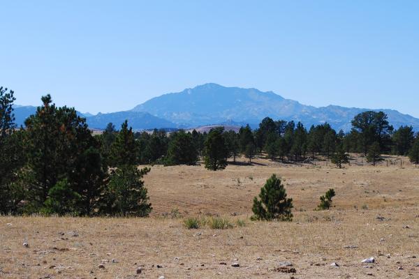
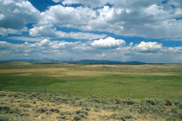
As many as half a million people may have traveled this corridor in the 19th century. To many, the environments of the Great Plains, Rocky Mountains and Great Basin seemed like another planet, full of strange and alien landscapes.

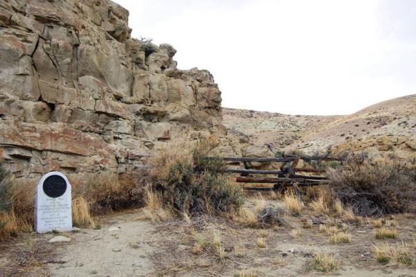
Use the QR Codes on the following pages with your mobile phone or tablet or visit www.wyohistory.org/oregon-trail to learn more about these Oregon Trail landmarks, including in-depth articles, maps, directions, photo galleries, videos and more.

Henry Hill, a War of 1812 veteran, died in 1852 on the Oregon Trail and lies buried on private property in Goshen County, Wyo. More than 30 members of two Hill families related by marriage traveled in the 62-member wagon train. All told, six of them died before reaching California.

William L. Clary, 19, died of cholera in 1850 while traveling with 45 other men driving cattle to California. Four other drovers died en route and the company’s captain died soon afterward—all of cholera. Clary’s grave survives on private land near Torrington, Wyo.  

On July 8, 1849, Charles Bishop, a member of the lavishly equipped Washington City and California Mining Association, died of cholera en route to the California gold fields. His gravesite, one of just 10 of the trailside forty-niner graves that still exist, lies near Torrington, Wyo. 

Fort Laramie began as a fur-trade post in 1834 near the confluence of the Laramie and North Platte rivers. Soon it changed into a post for the trade in buffalo robes, and for supplying emigrants bound west on the Oregon/California/Mormon Trail. In 1849 the post was purchased by the U.S. Army, and became an important supply, logistics and communications center for the Indian Wars campaigns of the next four decades. In recent decades the post has been carefully restored, and today is a National Historic Site.

Westbound wagon-train emigrants got their first glimpse of the Rocky Mountains when they first saw the blue cone of Laramie Peak, 85 miles away. Snowcapped in early summer, the mountain stayed in sight for a week or more, dominating many diarists’ accounts and foreshadowing drier, more difficult country ahead.

Seven pioneer graves survive in Wyoming from 1852, when more emigrants traveled the Oregon Trail than any other year. Near Fort Laramie, Mary Homsley and her baby died from measles, nearly as deadly as cholera at the time. She is buried under a stone on which her husband scratched her name.

Oregon Trail emigrants often attached ropes to the back of their wagons and locked the back wheels to slow their descent of steep, rugged Mexican Hill about five and a half miles west of Fort Laramie. Some lost control of their wagons and crashed at the base.

Register Cliff, near present Guernsey, Wyo., is one of three large “registers of the desert” in Wyoming where Oregon-, California- and Utah-bound emigrants carved their names on rock. Many of the inscriptions are from the peak years of Oregon Trail travel in the 1840s and 1850s. The area close to Register Cliff was the first night’s camp west of Fort Laramie. Today, this site is a National Historic Site.

Ruts carved two to six feet deep in a sandstone ridge on the south side of the North Platte River about a half mile south of Guernsey, Wyo., provide striking physical evidence of the route followed by hundreds of thousands of westbound emigrants the Oregon Trail during the years 1841-1869.

First described in 1842 by explorer John C. Fremont, Warm Springs, near present Guernsey, Wyo., is one of the most famous water holes on the Oregon-California Trail. Many emigrants stopped here to rest, bathe, wash clothes and carve their names on nearby sandstone bluffs.

Many Oregon Trail diarists noted the distinctive, conical shape of 70-foot-high Knob Hill, southwest of present Douglas, Wyo., and compared it to a sugar loaf; others whetted their knives on rocks at its base. British travel writer Richard Burton was skeptical of the tale that Brigham Young had preached a sermon there.

About 70 miles northwest of Fort Laramie, the Oregon Trail crossed La Prele Creek, flowing north from the Laramie Range toward the North Platte River a few miles away. On a high bluff above the creek mouth the U.S. Army in 1867 would build Fort Fetterman, which became an important supply base in the wars with the Cheyenne and Lakota Sioux in the following decade.

The amazing sight of Ayres Natural Bridge, a natural limestone arch across La Prele Creek near Douglas, Wyo., inspired numerous Oregon Trail emigrants to comment in their diaries. California-bound Cephas Arms on July 4, 1849, described it as “one of the wildest scenes I ever beheld.”

In April 1867, during Red Cloud’s War, 19-year-old Pvt. Ralston Baker of the 2nd U.S. Cavalry died during an Indian attack at La Prele Creek crossing on the Oregon Trail. His grave remains near the spot where he fell, south of present Douglas, Wyo. 

In July 1864, several members of the Kelly-Larimer wagon train were killed by a large party of Oglala Sioux. The graves of five victims—7-year-old Mary Kelly and four men—are located near present Glenrock, Wyo. Fanny Kelly, held captive by the Sioux, later wrote a book about her trials.

In 1850, 19-year-old Alvah Unthank left Indiana to head to California with the Newport Mining Company. In late June, he carved his name at Register Cliff, but a few days later, he succumbed to cholera. His grave near present Glenrock, Wyo. is among the best preserved on the historic trails.

On a jittery night in 1864, a lone warrior stole three horses from a California-bound wagon train west of present Glenrock, Wyo. Early next morning, emigrant Martin Ringo died from an accidental gunshot. His grave is still there, on private land. Johnny Ringo, his son, was later a famous outlaw. 

Three-year-old Ada Magill of Kansas, died of dysentery in 1864 on the Oregon Trail west of present Glenrock, Wyo. The Magills were bound for Oregon. In 1912, road surveyor L. C. Bishop moved the grave to a site nearby, where it is now marked by the Oregon-California Trails Association.

John Richard’s bridge across the North Platte River near present Casper, Wyo. eased the way for thousands of those who traveled the Oregon, California and Mormon trails during the years 1852-1866. Because Richard spoke with a French accent, many people thought his name was Reshaw and began referring to the bridge as Reshaw’s Bridge. A number of diarists, including world traveler Sir Richard Burton, recorded their experiences and descriptions of the bridge and the mixed-race community that thrived at the nearby trading post.

Oregon Trail emigrants faced high risks crossing the North Platte River near present Casper, Wyo. River crossings were extremely dangerous; operators of commercial ferries and bridges charged steep prices. Until bridges were built, many people and animals drowned in the swift, deep, shockingly cold water of the Platte.

The U.S. Army established Platte Bridge Station in 1862 to protect the Oregon/California/Mormon Trail crossing of the North Platte River and the new transcontinental telegraph. After Lt. Caspar Collins was killed there by Cheyenne and Lakota Indians in 1865, the post was renamed Fort Casper, misspelling his first name. The fort was abandoned two years later, but reconstructed in 1936—and renamed Fort Caspar—with funds from the Works Progress Administration. Fort grounds and a museum are open to the public.

At Red Buttes, west of present Casper, Wyo., Oregon Trail travelers left the North Platte River and started for the Sweetwater and the Continental Divide. Long a boundary marker for tribes, the spot quickly became well known to emigrants for its beauty and for marking a new stage of the journey.

After leaving the North Platte River near present-day Mills, Wyo., Oregon Trail travelers journeyed 10 miles or so through windswept, sometimes rocky terrain before coming through a shallow pass, now known as Emigrant Gap. Beyond it, at the base of a hill lay Mineral Lake, an alkali pond.

About 20 miles west of present Casper, Wyo., the Oregon Trail wound through a gap between two rocky hogbacks. Emigrants called it Rock Avenue. In the 1960s and 1970s, road builders blasted away some of the rocks. Part of the pioneer flavor of the place was lost, but much remains.

West of Rock Avenue on the Oregon Trail in what’s now central Wyoming, emigrant oxen often got stuck in an alkaline mire historians sometimes refer to as Clayton’s Slough, in memory of the Mormon diarist who called it “one of the most horrid, swampy, stinking places I ever saw.”