Founding Figures in Exploration

Image
black and white landscape of open plains and a creek with a teepee. Ferdinand V. Hayden and an unidentified American Indian sit and stand in front, respectively.
Camp scene from the Hayden survey. Ferdinand V. Hayden and an unidentified American Indian, ca. 1870s. Photo Files, American Heritage Center, University of Wyoming

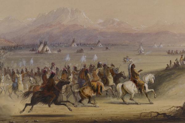
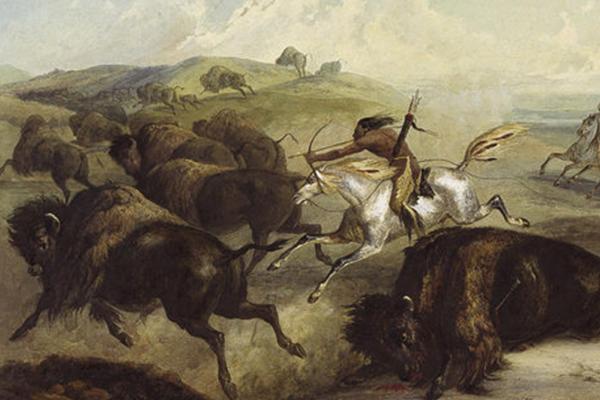
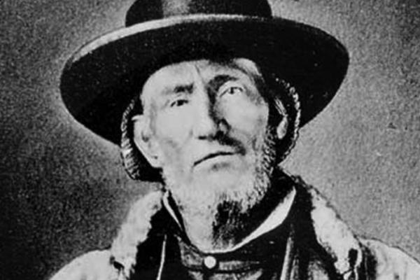
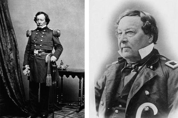
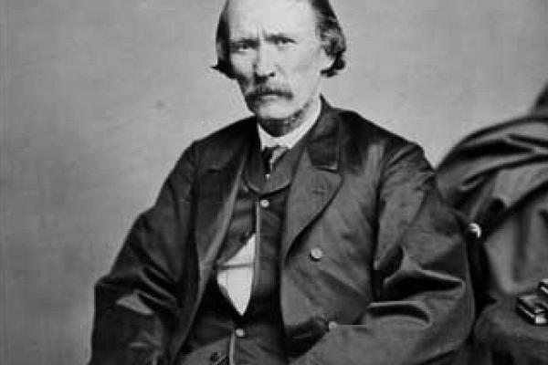
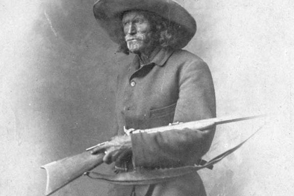
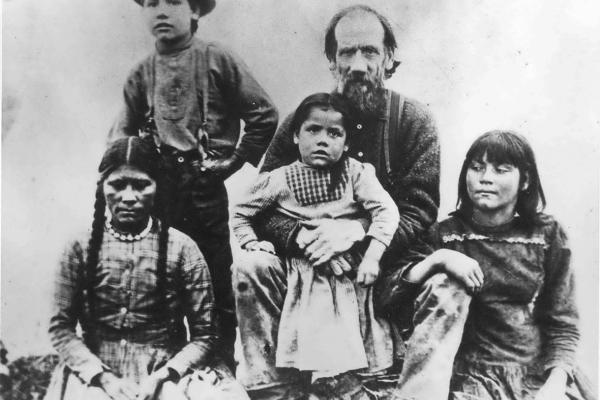
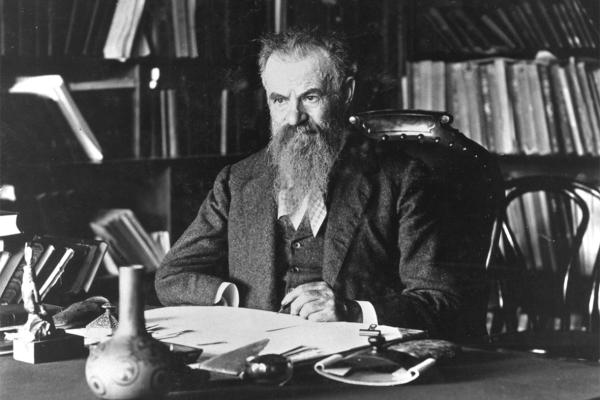
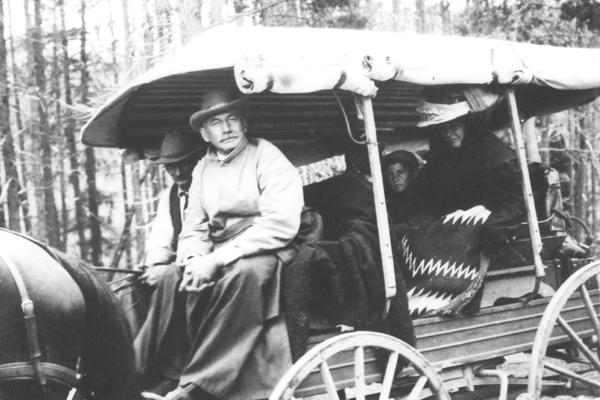
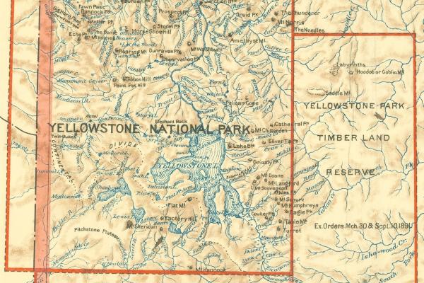
Before European and American explorers arrived, this region had long been home to the Eastern Shoshone, Northern Arapaho, Crow, Cheyenne, Lakota, and other Indigenous nations whose histories stretched back thousands of years. For more than a century, trappers, explorers, surveyors, prospectors, and scientists traveled routes established by Indigenous peoples, mapping terrain, documenting resources, and bringing national attention to Wyoming’s natural wonders. Their work ranged from fur trading and military surveying to scientific expeditions and photography that shaped how Americans understood the West.

The legacy of exploration reflects both achievement and displacement. While explorers expanded geographic knowledge and opened economic opportunities, their work facilitated the transformation of Indigenous homelands into U.S. territory, leading to profound disruption of Native communities. Understanding both the genuine accomplishments of exploration and mapping alongside their costs provides essential context for Wyoming’s development.


Articles

Wyoming’s trails, roads and highways follow centuries-old Native American hunting and trade routes. For generations, Shoshone, Arapaho, Cheyenne, Ute, Lakota and Crow people gathered plants, visited family and tracked game along watercourses and over mountain passes in the seasonal subsistence patterns of their lives.

Before any contact with Europeans, Shoshone, Crow, Arapaho, Comanche, Cheyenne, Ute and Lakota people in what’s now Wyoming bartered with each other and more distant tribes for food, horses, guns and more in trade networks stretching from the upper Missouri to the Pacific and from Mexico to Canada.  

Jim Bridger’s skills as guide, mapmaker and businessman were unmatched. After 20 years trapping beaver in the northern Rockies, he co-founded Fort Bridger in 1843. In the 1850s and 1860s he guided important government exploring expeditions and guided troops on Indian campaigns. In 1868 he retired to Missouri, where he died in 1881.

The first fur trader to take wagons over South Pass, Capt. Benjamin Bonneville, on leave from the U.S. Army in 1832, seems to have been seeking information about British activities in the far Northwest as much as he was seeking beaver pelts.

The trapper and guide Kit Carson traversed what’s now Wyoming dozens of times. Of one of those trips we have a close account—1842, when the careful, competent Carson guided a brash young Lt. John C. Frémont of the Topographical Engineers up the old fur-trade route to South Pass.

Scout, guide, ferryman, freighter and stockman Jim Baker trapped with Jim Bridger and Kit Carson in the 1830s, guided troops in the 1850s and briefly ran a ferry over the Green River. In 1873, built a cabin near the Little Snake River in southern Wyoming, where he died in 1898. 

Trapper, ferryman, hunting guide and Mexican War veteran Beaver Dick Leigh lived an active and colorful life on both sides of the Tetons in the mid and late 19th century. Leigh, Jenny and Beaver Dick—now String—lakes in Jackson Hole are named for him and for his first wife, an Eastern Shoshone from Washakie’s band.

In 1869 and 1871, John Wesley Powell led two expeditions from Wyoming Territory down the Green and Colorado rivers. These and other explorations brought him to a profound understanding of how the West’s aridity limits its economic prospects. He directed the U.S. Geological Survey from 1881-1894, and his ideas still affect land and water policy today. 

Governeur Kemble Warren explored thousands of miles of Nebraska Territory in the 1850s. This was no small accomplishment, given that the Territory encompassed most, if not all, of the modern states of Nebraska, South Dakota, North Dakota, Colorado, Montana and Wyoming. Read more about the explorations of G.K. Warren.

In 1859-1860 Capt. William Raynolds led scientists, artists and soldiers who mapped much of present Wyoming and Montana. Their maps show a West frozen in time, home to Native people. But the maps were tools too of the nation’s sense of itself and its Manifest Destiny—to dispossess people who already lived here.

In 1898, Wyoming State Auditor Billy Owen and friends climbed the Grand Teton and claimed they were first to do so. Counterclaims quickly surfaced, dating back to 1872.  In 1929, Owen persuaded the Wyoming Legislature to name him the first and had a plaque made to make it official. But the controversy continues. 

Through some of Wyoming’s roughest terrain in 1874, future Gov. William A. Richards surveyed the western boundary of the territory. Felling trees, clambering through canyons, dodging lightning bolts and watching mules flip from cliffs were only a few of the privations he and his party endured.

Connecticut-born Edward Gillette came west 1878, eager for excitement. His expertise as a surveyor led eventually to his leading the party that located the Burlington Railroad route through northeast Wyoming. Though Gillette, Wyo., was named for him, he finally settled in Sheridan to a life of successful business and public service.

It may seem surprising that a solitary New York socialite would make Yellowstone safer. But Alice Morris’s love of Yellowstone National Park led to her horseback explorations in 1917, when she chronicled the park’s wonders and detailed changes to improve and standardize trail systems that remain in place today.

No logging, no grazing—even no trespassing? The Yellowstone Timber Land Reserve, the first land to be set aside in what evolved into today’s National Forest system, had a distinctly different character from its successors. Here’s why.

Oral Histories

Golden Allred, born in 1910, trapped beaver, bobcat and other animals for 22 years in and around Wyoming’s Big Horn Basin.