Oregon Trail

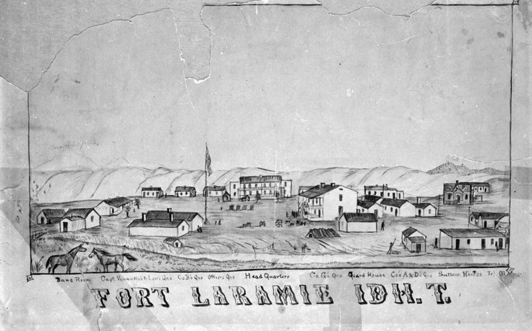
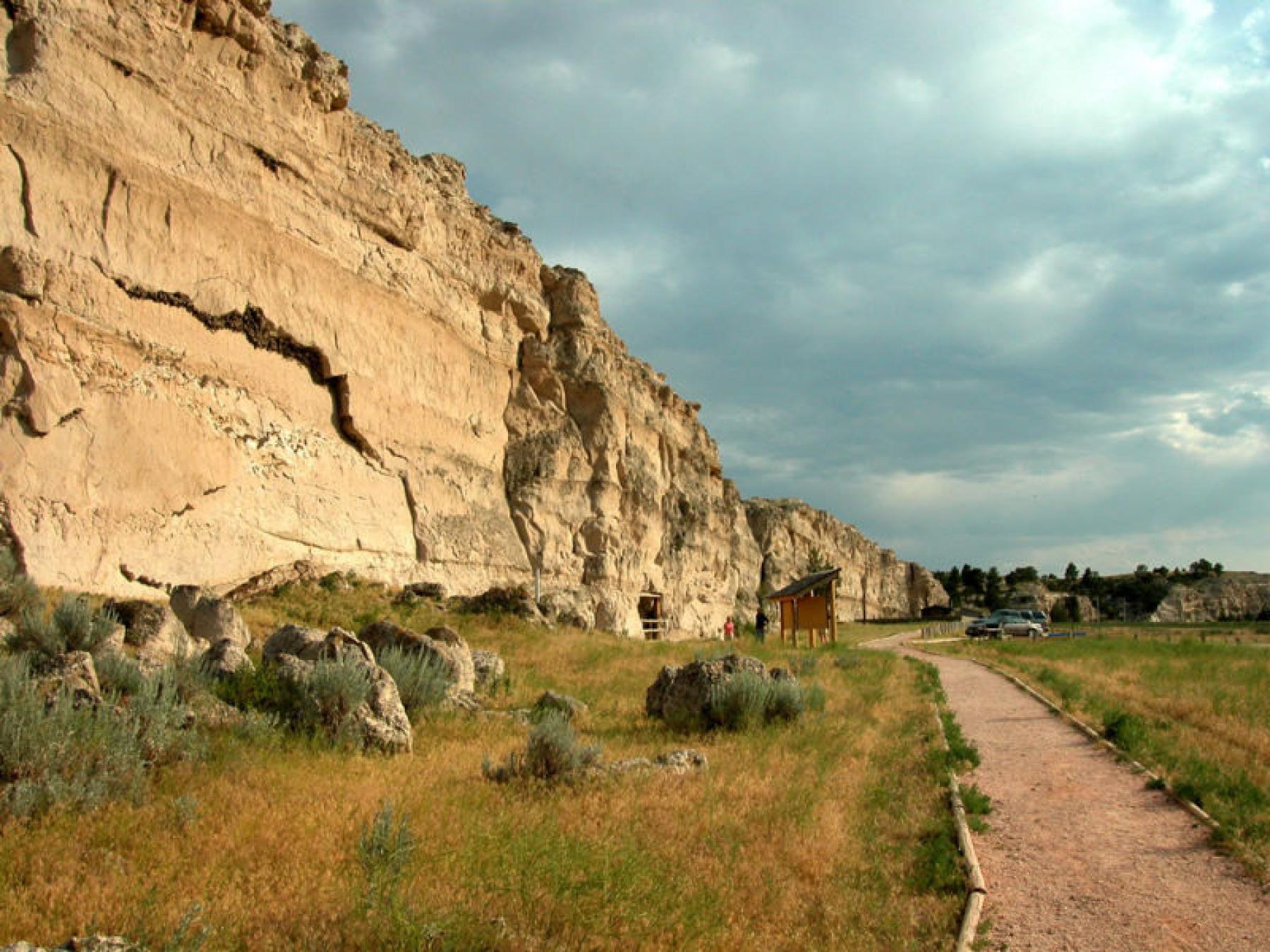
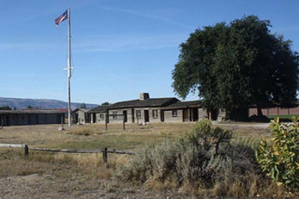
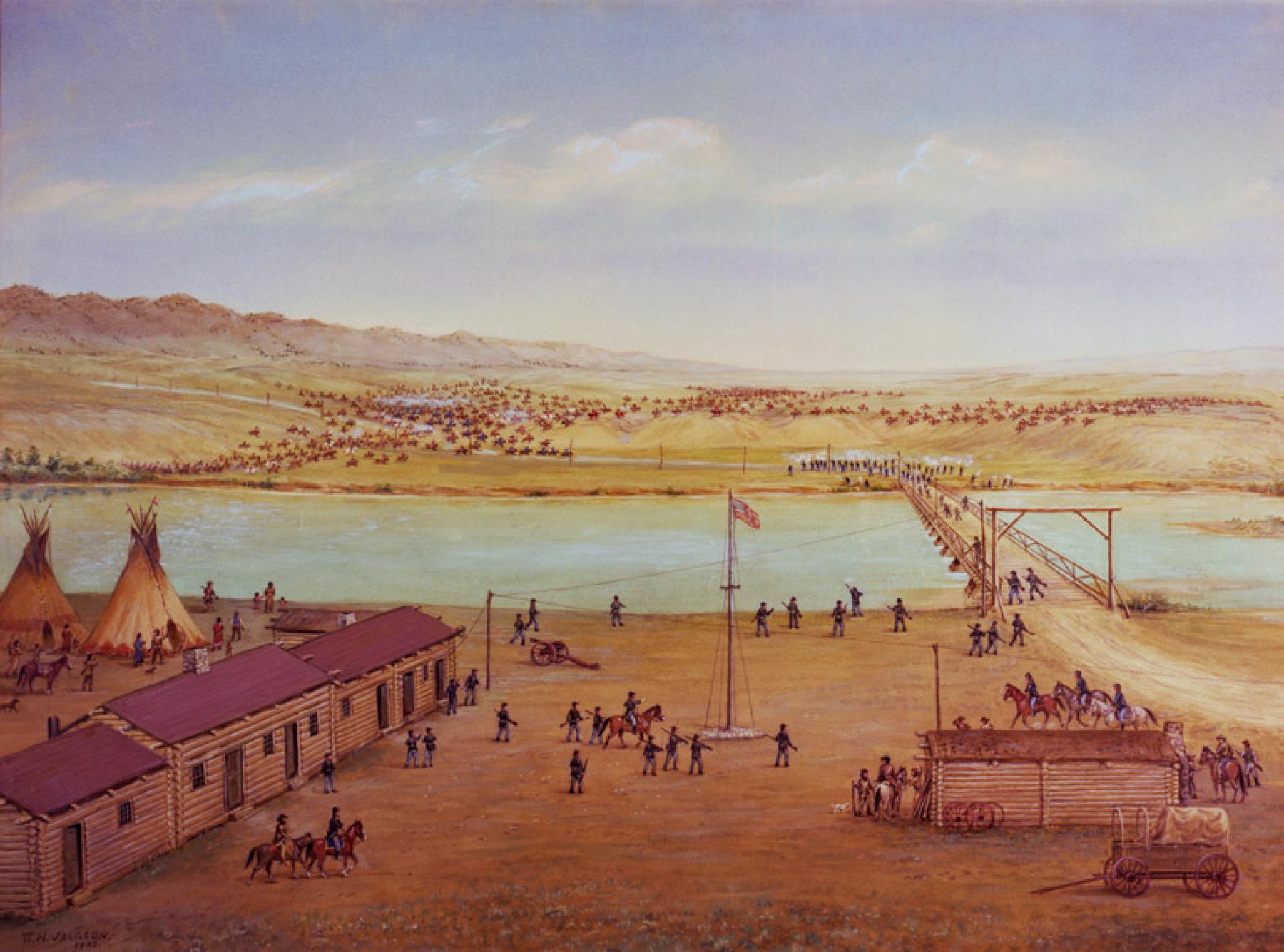
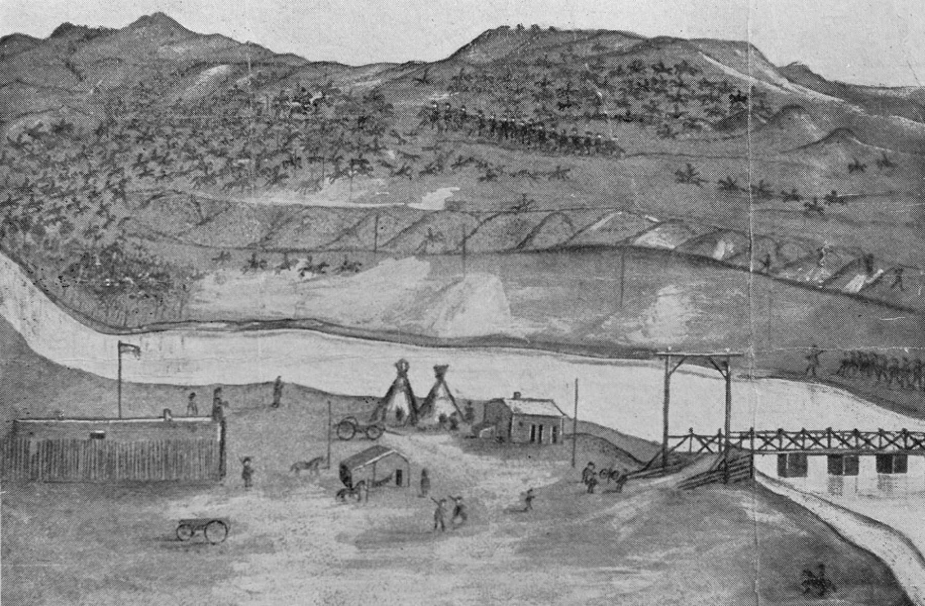
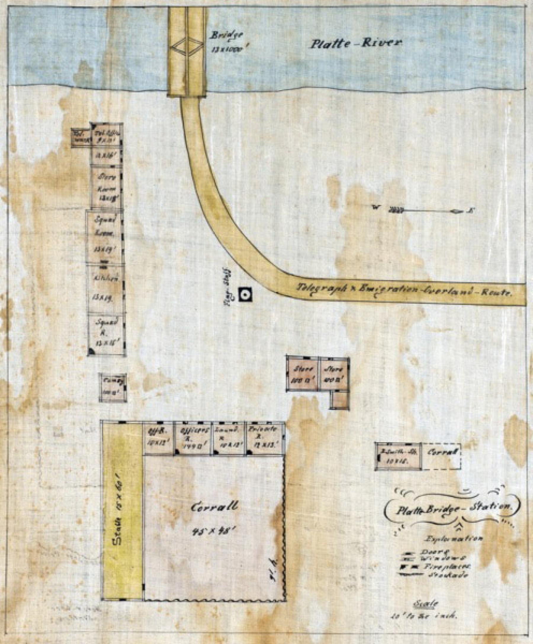
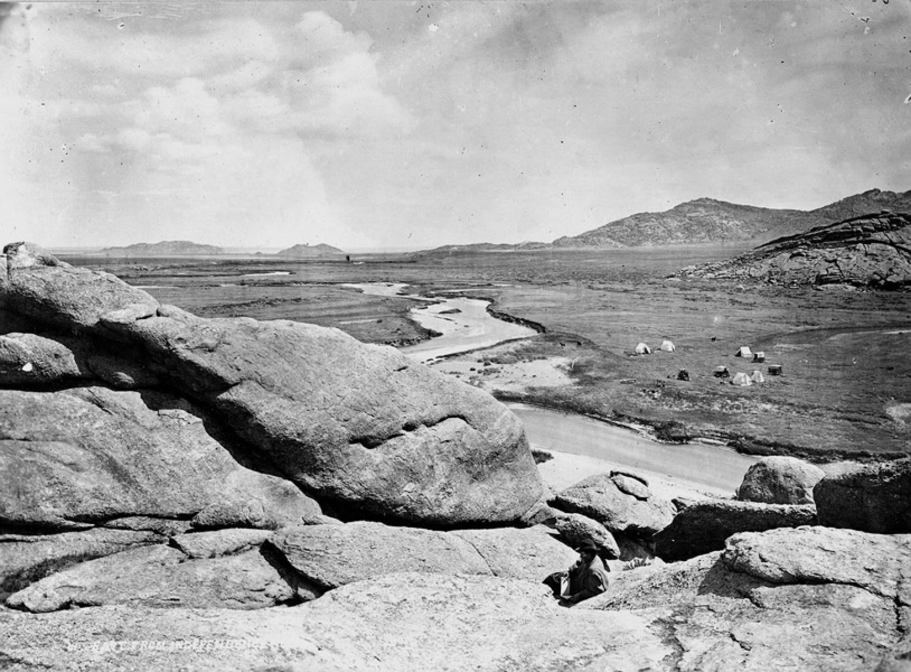
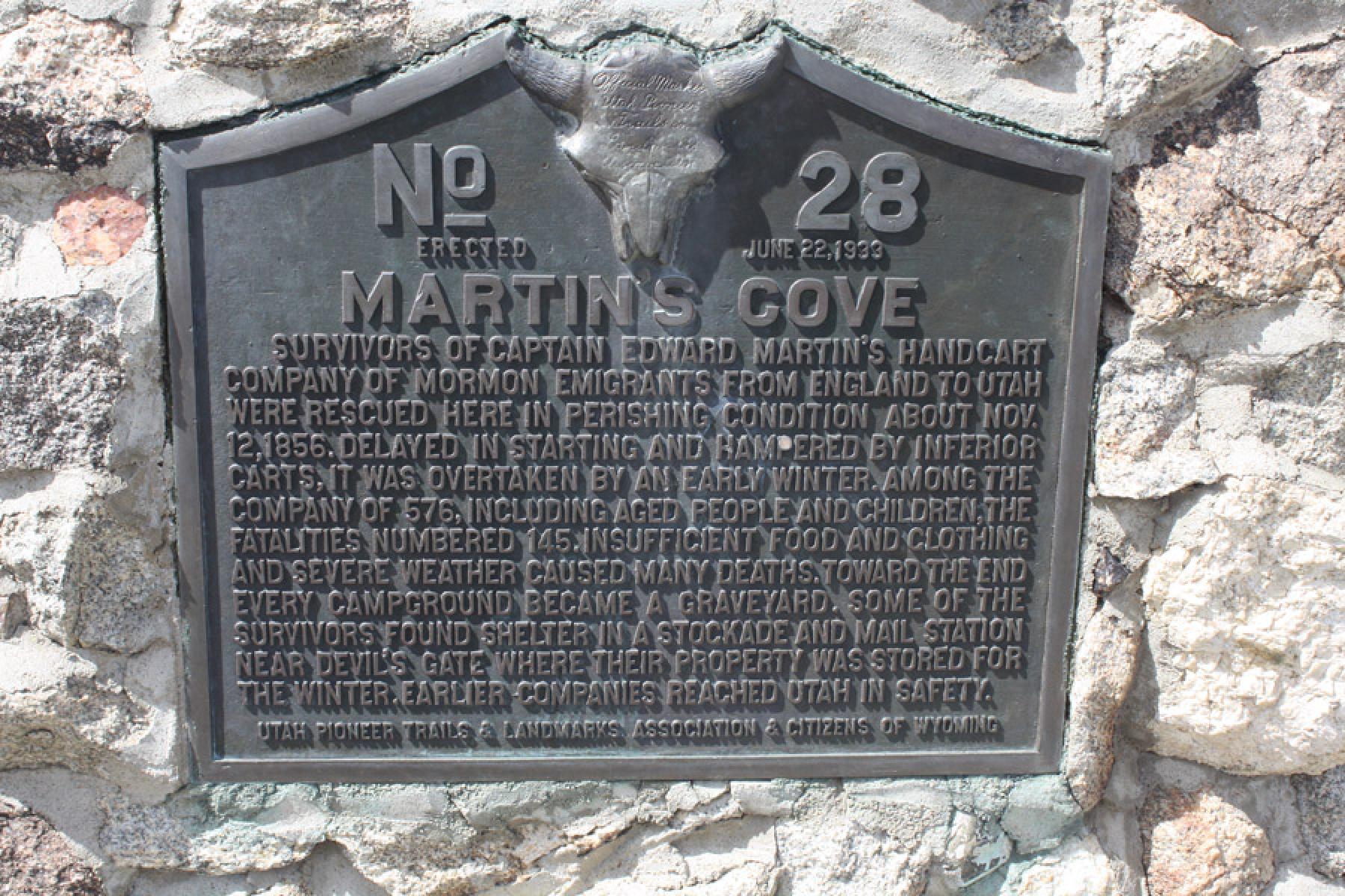
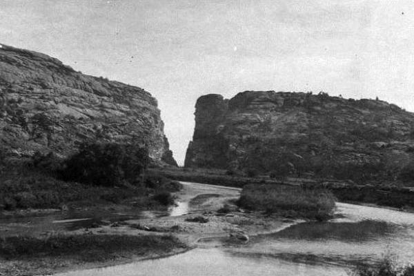
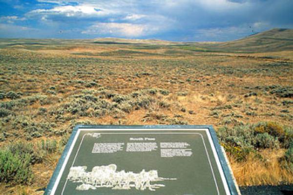
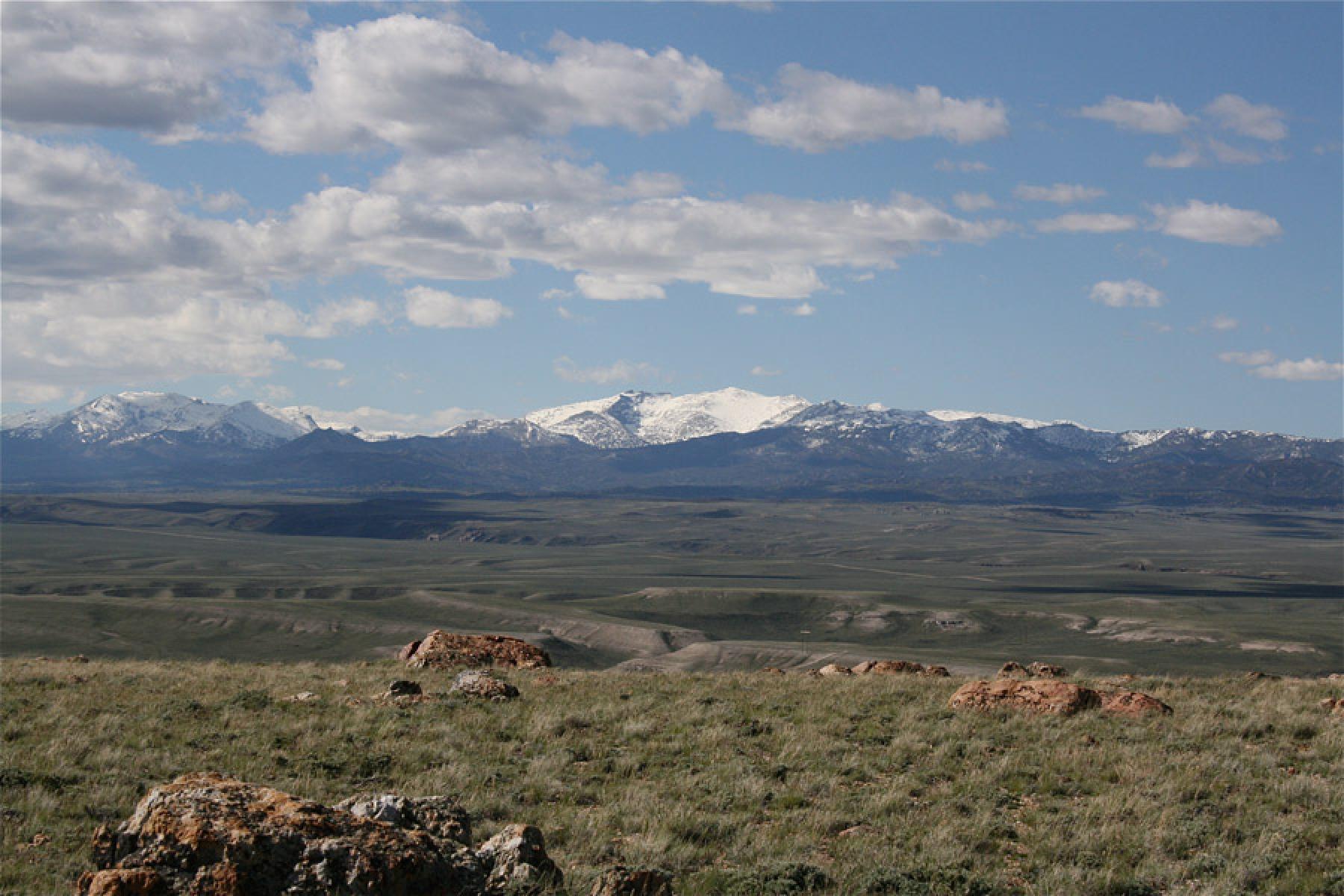
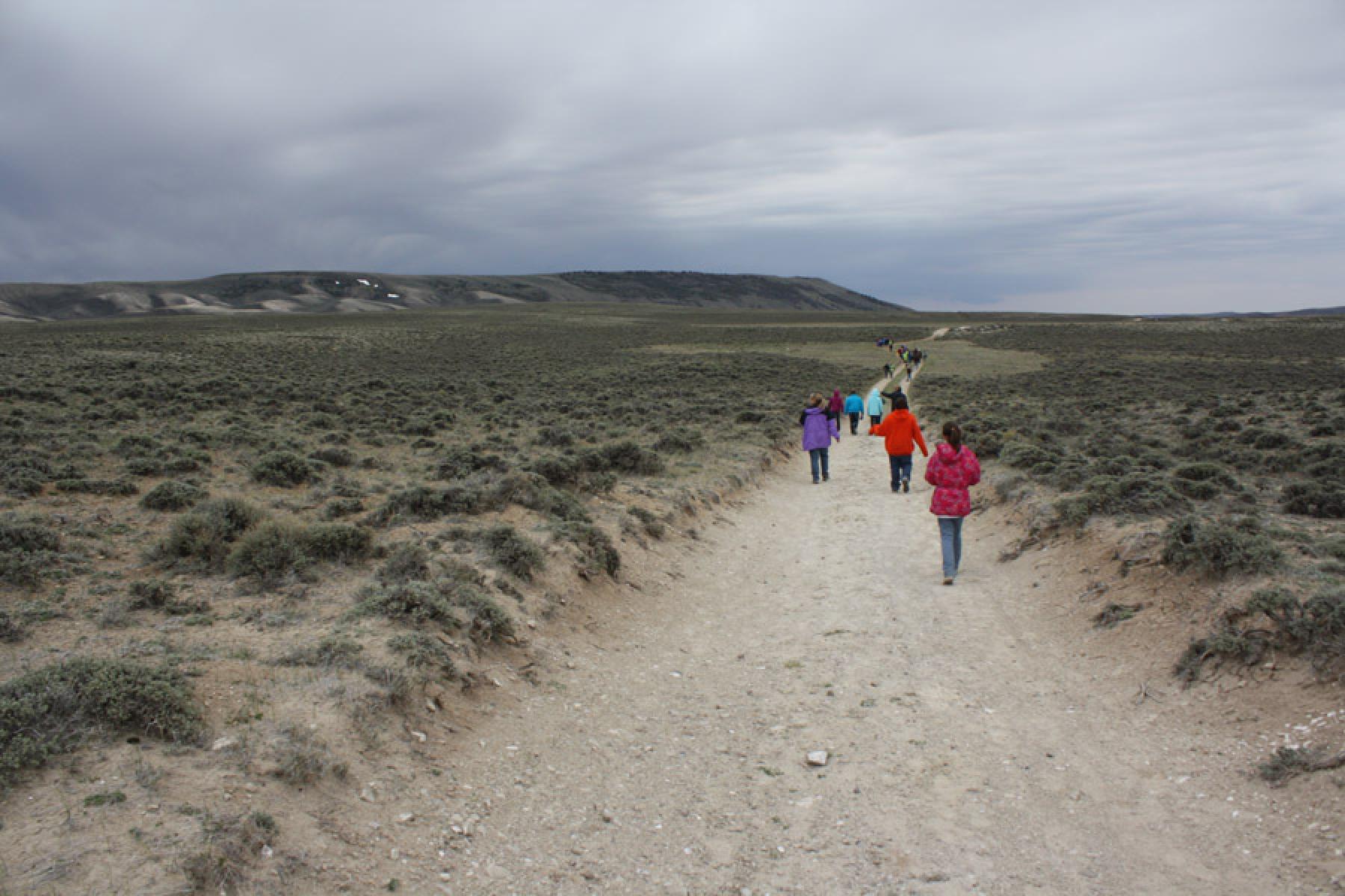
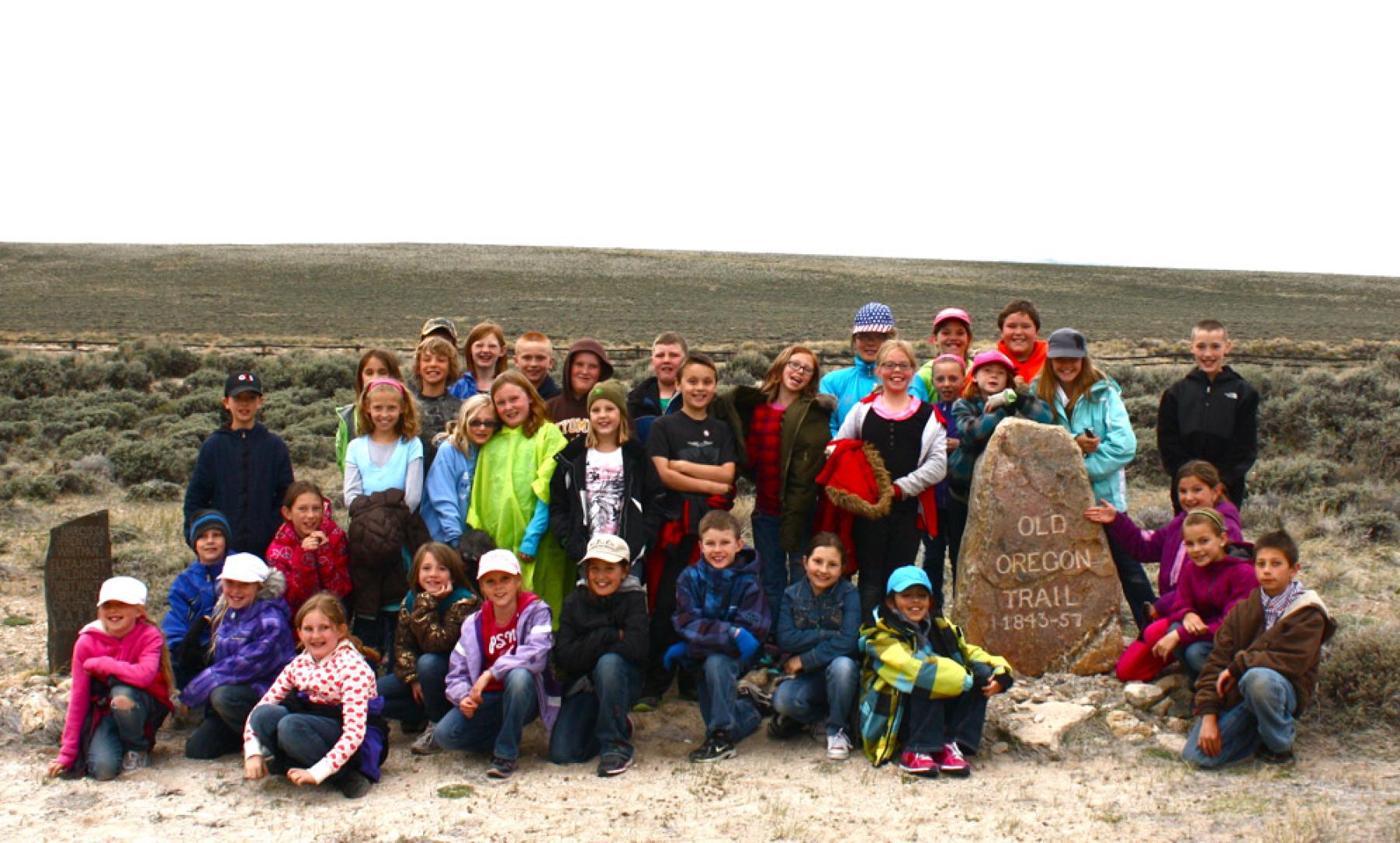
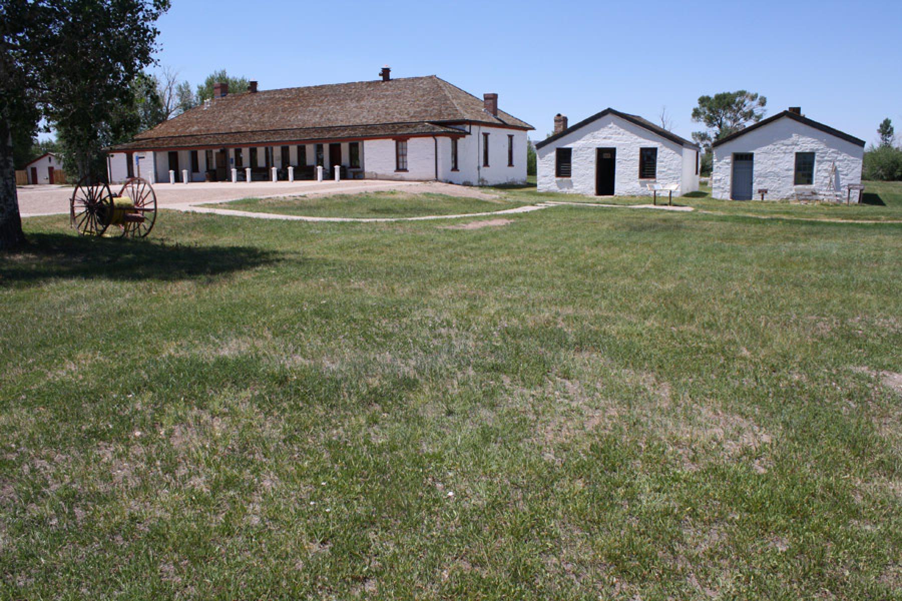
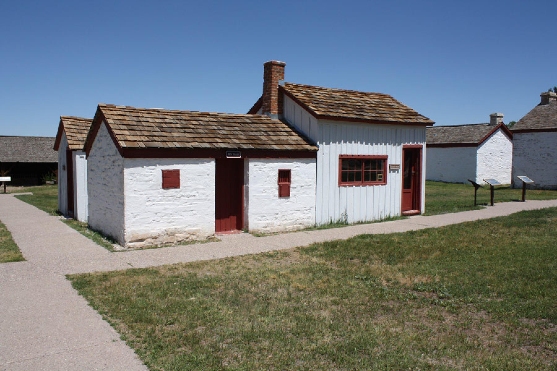
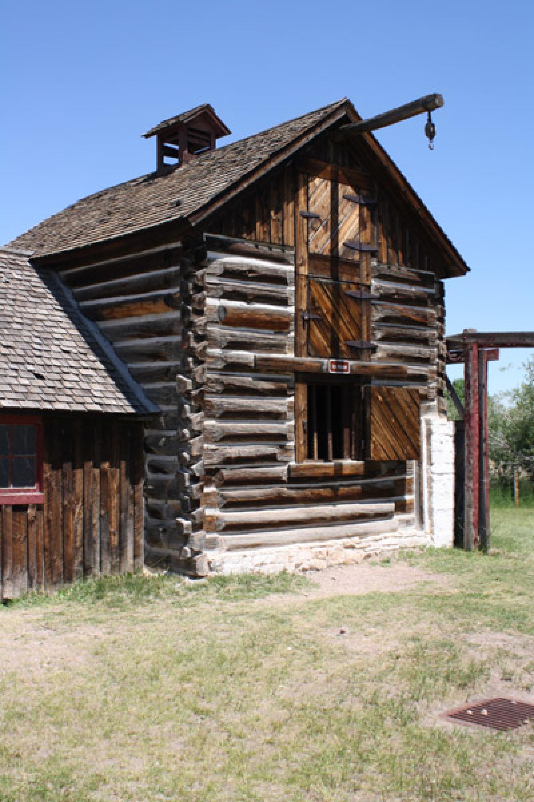
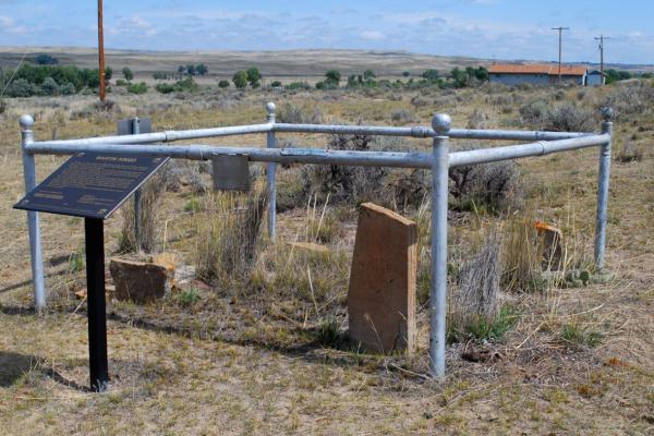
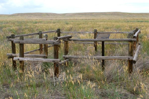
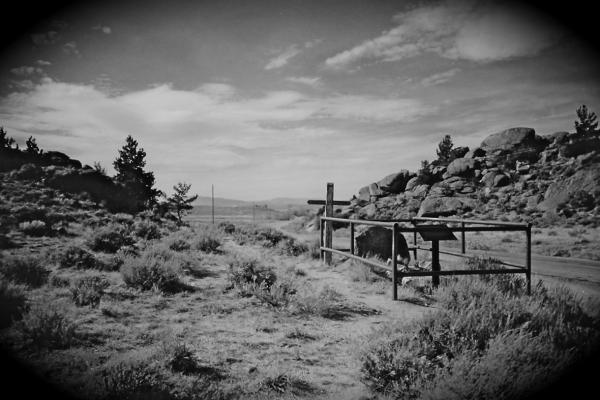
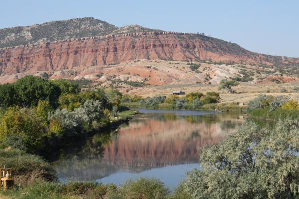
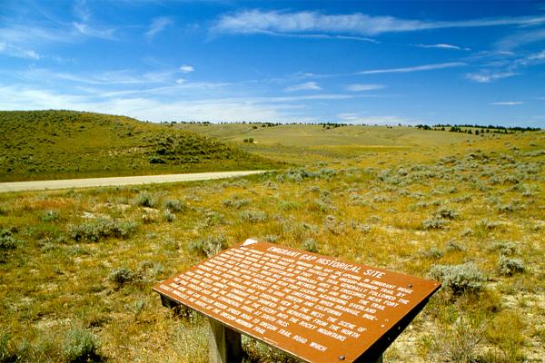
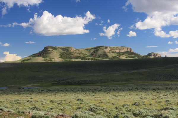
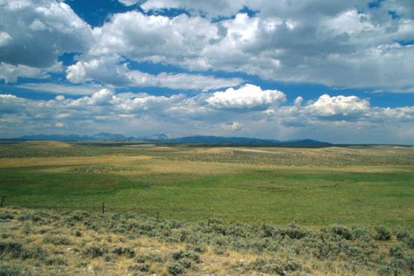
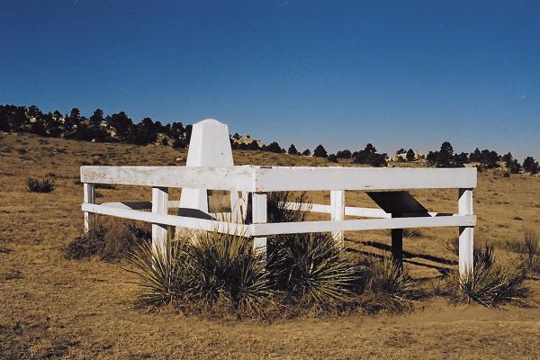
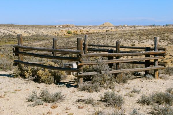
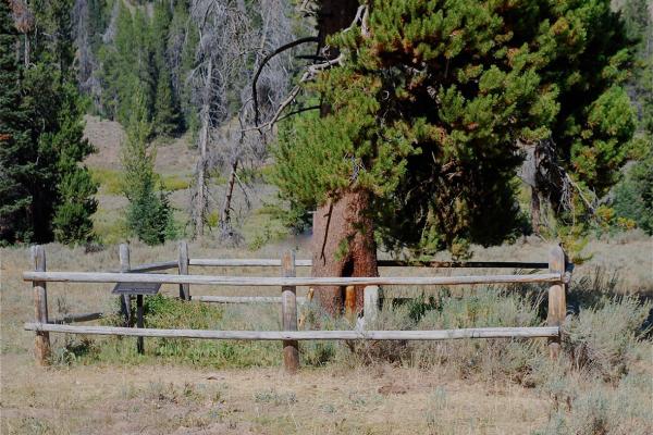
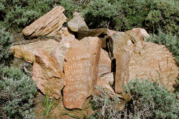
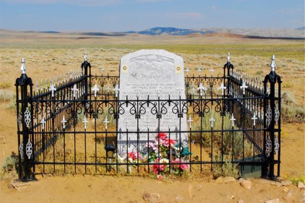
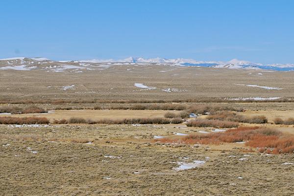
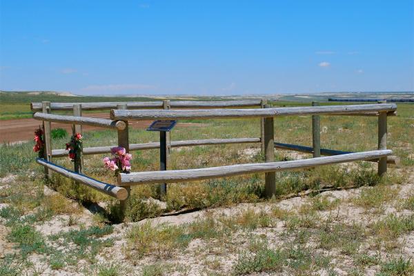
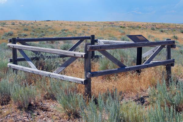
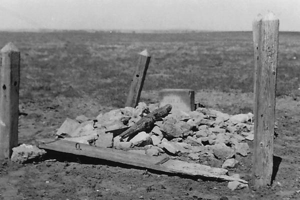
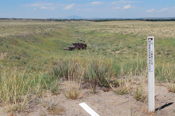
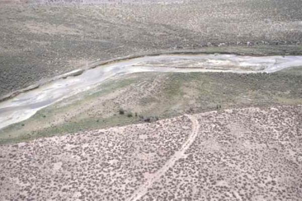
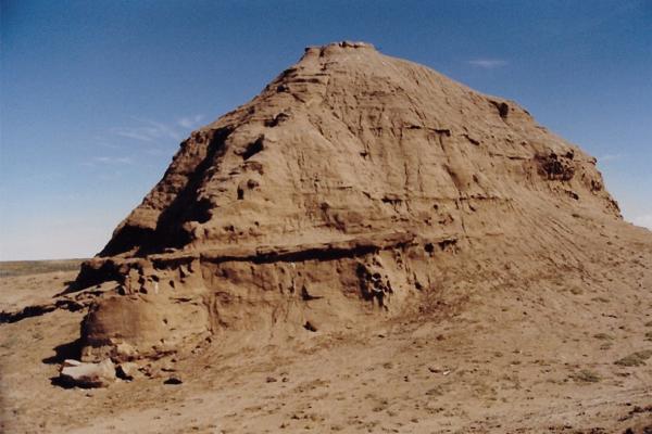
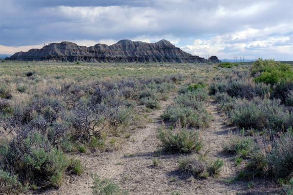
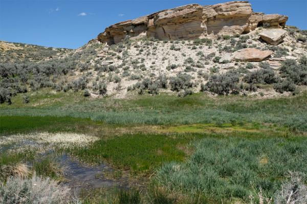
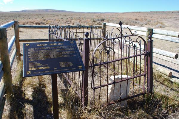
The Oregon, Mormon Pioneer and California trails all cross Wyoming in the central and most popular corridor of the transcontinental migration of the 1840s, 1850s and 1860s. The trails followed the North Platte and Sweetwater rivers west to South Pass, after which they divided into various routes bound for Oregon, Utah or California. As many as half a million people may have traveled this corridor in the 19th century. To many, the environments of the Great Plains, Rocky Mountains and Great Basin seemed like another planet, full of strange and alien landscapes.

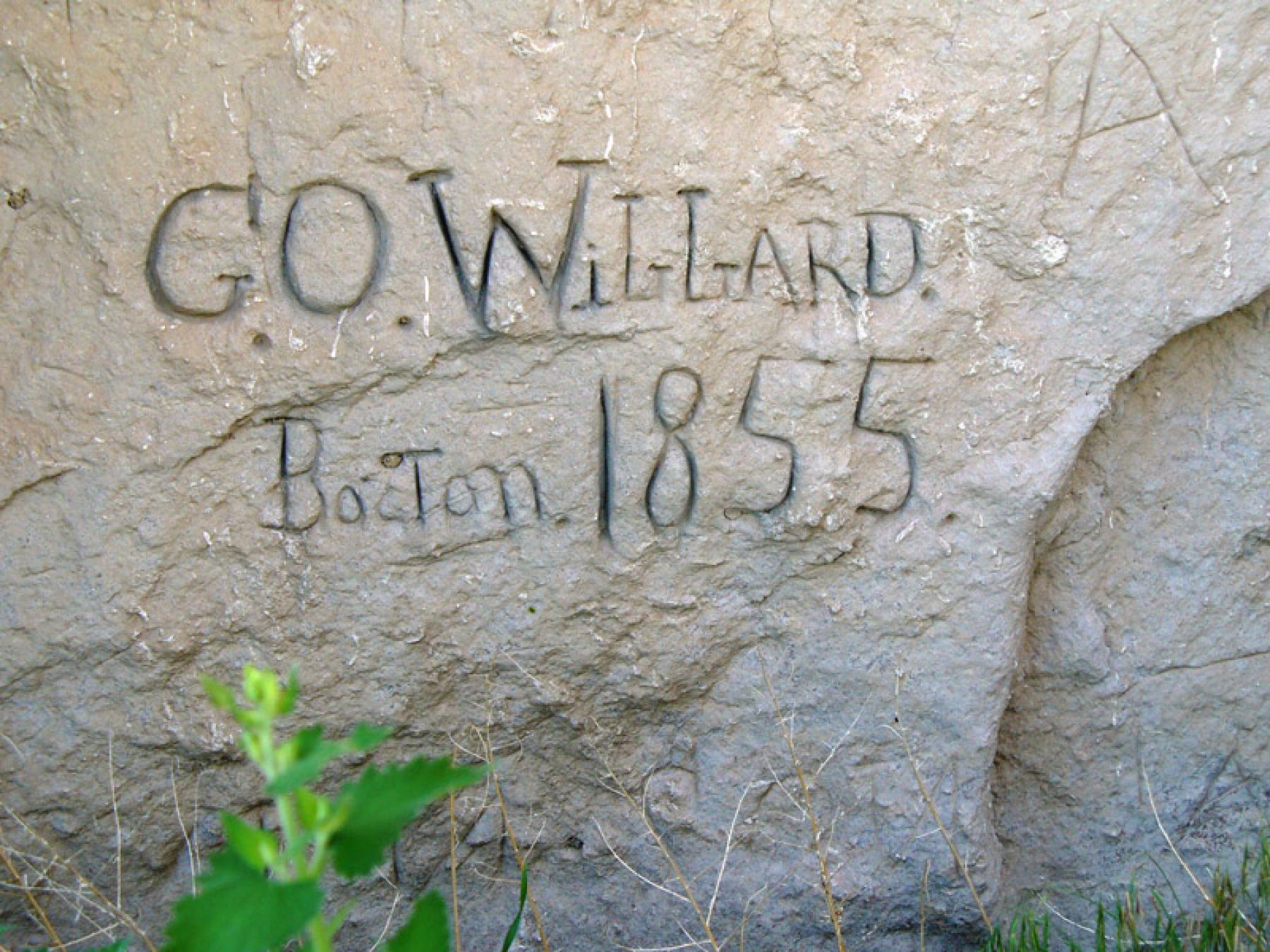
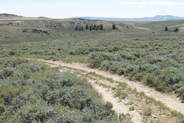
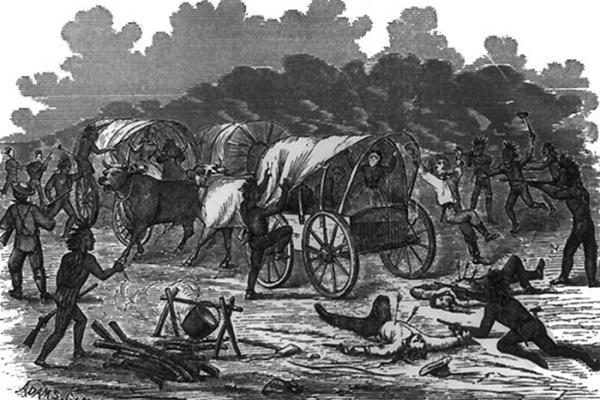
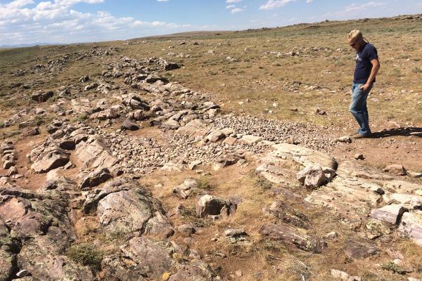
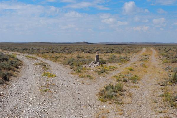
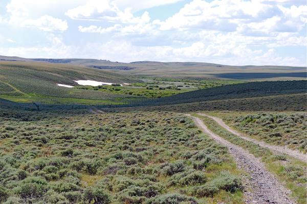
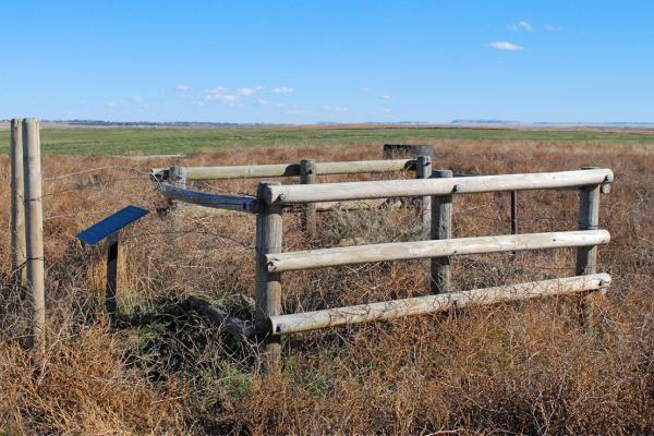
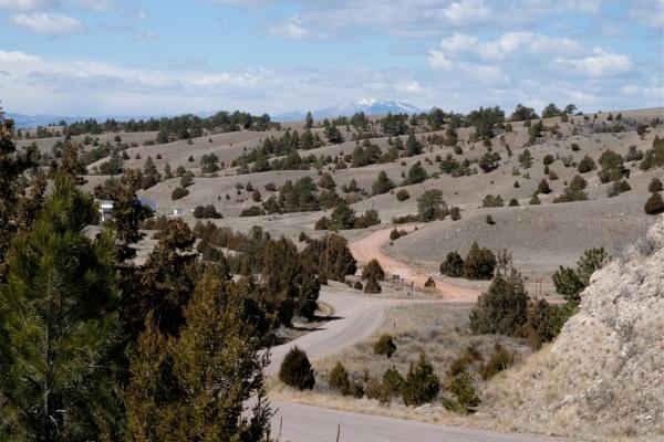
Emigration routes were scouted by trappers, traders, the military and early pioneers in the 1810s-1840s. As the West was settled, destinations multiplied, necessitating a complex network of routes. Emigrants sought out better routes as the immense traffic on the main routes strained natural resources of the fragile steppes and desert. Isolated wagon tracks across the West quickly grew into a far-reaching capillary system.

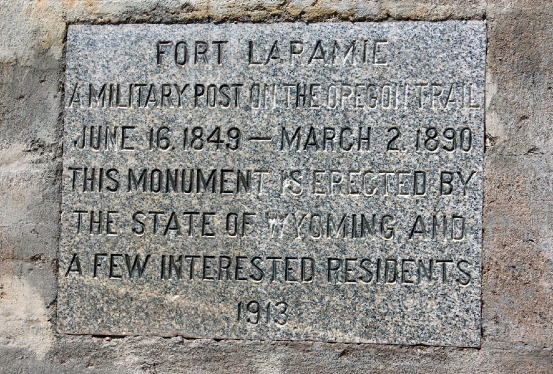
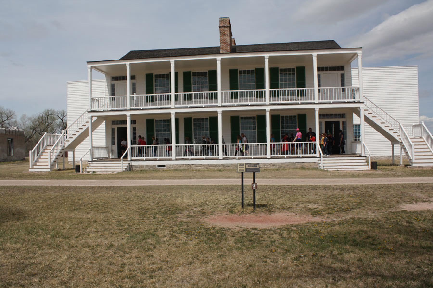
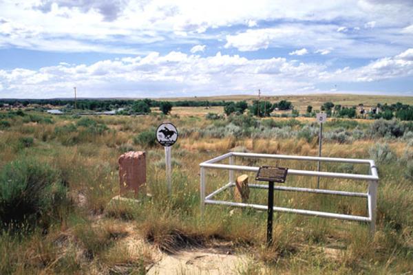
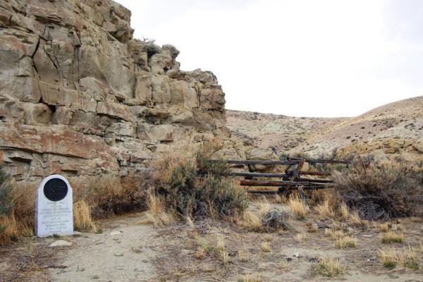
The Oregon/Mormon Pioneer/California Trails have been studied and assessed according to the National Trails System Act of 1968 and have been designated as National Historic Trails. Designation as a National Historic Trail (NHT) is essentially an honorary distinction, providing little protection for any of the routes. However, this identification does expressly recognize the national significance of these routes and allows the federal government to assist with studying and educating the public about these important places. The act further allows the federal government limited authority to acquire portions of these trails from willing sellers.

Read more »

Fort Laramie began as a fur-trade post in 1834 near the confluence of the Laramie and North Platte rivers. Soon it changed into a post for the trade in buffalo robes, and for supplying emigrants bound west on the Oregon/California/Mormon Trail. In 1849 the post was purchased by the U.S. Army, and became an important supply, logistics and communications center for the Indian Wars campaigns of the next four decades. In recent decades the post has been carefully restored, and today is a National Historic Site.

Register Cliff, near present Guernsey, Wyo., is one of three large “registers of the desert” in Wyoming where Oregon-, California- and Utah-bound emigrants carved their names on rock. Many of the inscriptions are from the peak years of Oregon Trail travel in the 1840s and 1850s. The area close to Register Cliff was the first night’s camp west of Fort Laramie. Today, this site is a National Historic Site.

Ruts carved two to six feet deep in a sandstone ridge on the south side of the North Platte River about a half mile south of Guernsey, Wyo., provide striking physical evidence of the route followed by hundreds of thousands of westbound emigrants the Oregon Trail during the years 1841-1869.

John Richard’s bridge across the North Platte River near present Casper, Wyo. eased the way for thousands of those who traveled the Oregon, California and Mormon trails during the years 1852-1866. Because Richard spoke with a French accent, many people thought his name was Reshaw and began referring to the bridge as Reshaw’s Bridge. A number of diarists, including world traveler Sir Richard Burton, recorded their experiences and descriptions of the bridge and the mixed-race community that thrived at the nearby trading post.

The U.S. Army established Platte Bridge Station in 1862 to protect the Oregon/California/Mormon Trail crossing of the North Platte River and the new transcontinental telegraph. After Lt. Caspar Collins was killed there by Cheyenne and Lakota Indians in 1865, the post was renamed Fort Casper, misspelling his first name. The fort was abandoned two years later, but reconstructed in 1936—and renamed Fort Caspar—with funds from the Works Progress Administration. Fort grounds and a museum are open to the public.

People have been leaving carvings and images on Independence Rock in central Wyoming since prehistoric times. When Father De Smet visited in 1841, so many names had already been carved, painted or smeared on the landmark in buffalo grease and gunpowder that he named it the “Great Register of the Desert.” The rock may have been the best-known spot on the emigrant trails, and it remains an enduring symbol of Wyoming's contribution to our nation's heritage and highest ideals.

In August 1856, more than 1,000 Mormon emigrants in the Willie and Martin handcart companies left Florence, Nebraska Territory, with plans of reaching Salt Lake City and the headquarters of The Church of Jesus Christ of Latter-day Saints before winter. Their late start, substandard equipment and lack of sufficient supplies had disastrous consequences when they were hit by winter storms. Hundreds died on the journey across what’s now Wyoming and into Utah. Images of emigrant families pulling handcarts have since become an LDS Church icon of the triumph of faith over adversity.

Westbound emigrants in the Sweetwater Valley on the Oregon Trail saw the distinctive gunsight notch of Split Rock and “steered to this cliff with a steadiness that was astonishing,” according to one diarist. The landmark stands 11 miles west of Devil’s Gate and about 75 miles east of South Pass. 

Devil’s Gate on the Sweetwater River became an important landmark for emigrants on the Oregon/California/Mormon trails. Trader Charles Lajeunesse ran a post there in the 1850s, not long before a Mormon handcart company sought shelter from a blizzard at nearby Matins Cove. Later, the famous Sun Ranch was headquartered there for 125 years.

Award-winning historian Will Bagley explains that without South Pass and the easy grade it offered to early transcontinental travelers, the history of the United States would have been much different. Hundreds of thousands of people made the crossing in the mid-1800s, following the trail blazed in 1812 by Robert Stuart and the Astorians. In 1836, missionaries Narcissa Whitman and Eliza Spalding became the first women to travel across South Pass. Today, markers at the summit commemorate the pioneers, the wide expanse of land and sky looks much as it did in pioneer times and “the West,” as Bagley notes, still “opens up for anyone who stands at South Pass.”

Mountain men established a ferry across the Green River in 1843. Mormons bought it in 1850, when it became known as the Green River Mormon Ferry. Tens of thousands of emigrants crossed the river here. When William Lombard took over the business in 1889, it became known as the Lombard Ferry. 

Established by mountain men Jim Bridger and Louis Vasquez in 1843, Fort Bridger was an important rest and re-supply spot for emigrants bound to Utah, California and Oregon. Mormons acquired the site in the mid-1850s, and burned it in 1857 as the U.S. Army approached during the bloodless Utah War. The following year the Army took over, and garrisoned the fort until 1890. Today it is a state historic site.

In 1857, the U.S. Congress passed the Pacific Wagon Road Act, allowing the survey and construction of wagon roads. A segment of the first such national road built in the West is the Lander Trail, a section 229 miles in length between a point near present-day South Pass, Wyo., and Fort Hall, Idaho. The route saved travelers 60 miles compared to the more traditional route of the Oregon-California Trail through Fort Bridger. The Lander Trail was named for Frederick William Lander, chief engineer and later superintendent for the project—a volatile but effective leader who was nationally famous in his day.

Emigrants bound for Oregon or California in the 1860s on the government-built Lander Trail faced serious dangers crossing the New Fork River, as they usually had to do so at high water. Recently the site has been developed into an attractive historical park in Sublette County in western Wyoming.

On a jittery night in 1864, a lone warrior stole three horses from a California-bound wagon train west of present Glenrock, Wyo. Early next morning, emigrant Martin Ringo died from an accidental gunshot. His grave is still there, on private land. Johnny Ringo, his son, was later a famous outlaw. 

Many Oregon Trail diarists noted the distinctive, conical shape of 70-foot-high Knob Hill, southwest of present Douglas, Wyo., and compared it to a sugar loaf; others whetted their knives on rocks at its base. British travel writer Richard Burton was skeptical of the tale that Brigham Young had preached a sermon there.

In 1988, following extensive research regarding her identity, 1852 Oregon Trail traveler Quintina Snodderly’s remains were re-interred where they had been found in 1974 on private land east of present Casper, Wyo., as part of the Oregon-California Trails Association project to preserve graves of trail travelers.

Frederick Fulkerson, 17, died in 1847 on the Oregon Trail after becoming exhausted and ill from swimming his family’s livestock across the North Platte River near present Casper, Wyo. His grave, located on state land near Devil’s Gate, is one of the oldest identified graves along the trail. 

Three-year-old Ada Magill of Kansas, died of dysentery in 1864 on the Oregon Trail west of present Glenrock, Wyo. The Magills were bound for Oregon. In 1912, road surveyor L. C. Bishop moved the grave to a site nearby, where it is now marked by the Oregon-California Trails Association.

At Red Buttes, west of present Casper, Wyo., Oregon Trail travelers left the North Platte River and started for the Sweetwater and the Continental Divide. Long a boundary marker for tribes, the spot quickly became well known to emigrants for its beauty and for marking a new stage of the journey.

In July 1864, several members of the Kelly-Larimer wagon train were killed by a large party of Oglala Sioux. The graves of five victims—7-year-old Mary Kelly and four men—are located near present Glenrock, Wyo. Fanny Kelly, held captive by the Sioux, later wrote a book about her trials.

About 70 miles northwest of Fort Laramie, the Oregon Trail crossed La Prele Creek, flowing north from the Laramie Range toward the North Platte River a few miles away. On a high bluff above the creek mouth the U.S. Army in 1867 would build Fort Fetterman, which became an important supply base in the wars with the Cheyenne and Lakota Sioux in the following decade.

The amazing sight of Ayres Natural Bridge, a natural limestone arch across La Prele Creek near Douglas, Wyo., inspired numerous Oregon Trail emigrants to comment in their diaries. California-bound Cephas Arms on July 4, 1849, described it as “one of the wildest scenes I ever beheld.”

After leaving the North Platte River near present-day Mills, Wyo., Oregon Trail travelers journeyed 10 miles or so through windswept, sometimes rocky terrain before coming through a shallow pass, now known as Emigrant Gap. Beyond it, at the base of a hill lay Mineral Lake, an alkali pond.

About 20 miles west of present Casper, Wyo., the Oregon Trail wound through a gap between two rocky hogbacks. Emigrants called it Rock Avenue. In the 1960s and 1970s, road builders blasted away some of the rocks. Part of the pioneer flavor of the place was lost, but much remains.

Early Oregon Trail travelers were enchanted by clear, cold water at Willow Spring, halfway between the North Platte and Independence Rock. But after traffic boomed with the 1849 gold rush, they were more often disappointed: Pioneers had cut down trees; livestock had eaten all the grass and muddied the water.

Poetry, shouts and song—year after year, reactions were similar when Oregon Trail emigrants managed the steep climb up Prospect Hill, also called Ryan Hill, on the road from the North Platte to Independence Rock. The sight of range after range of mountains greeted them—a sweeping view of new country.

Fifteen miles from Prospect Hill, Oregon Trail emigrants as they neared Independence Rock began passing shallow, sometimes dry lakes. If dry, the lake floors were encrusted with snow-white alkali—essentially baking soda—which the pioneers called saleratus. It worked well for raising bread baked over sagebrush campfires.

Oregon Trail emigrants faced high risks crossing the North Platte River near present Casper, Wyo. River crossings were extremely dangerous; operators of commercial ferries and bridges charged steep prices. Until bridges were built, many people and animals drowned in the swift, deep, shockingly cold water of the Platte.

West of Rock Avenue on the Oregon Trail in what’s now central Wyoming, emigrant oxen often got stuck in an alkaline mire historians sometimes refer to as Clayton’s Slough, in memory of the Mormon diarist who called it “one of the most horrid, swampy, stinking places I ever saw.”

In 1850, 19-year-old Alvah Unthank left Indiana to head to California with the Newport Mining Company. In late June, he carved his name at Register Cliff, but a few days later, he succumbed to cholera. His grave near present Glenrock, Wyo. is among the best preserved on the historic trails.

Westbound wagon-train emigrants got their first glimpse of the Rocky Mountains when they first saw the blue cone of Laramie Peak, 85 miles away. Snowcapped in early summer, the mountain stayed in sight for a week or more, dominating many diarists’ accounts and foreshadowing drier, more difficult country ahead.

Their wagons lurching over sharp boulders up a steep grade, westbound emigrants found a particularly difficult stretch of trail about 40 miles east of South Pass. The late-starting Willie Company of Mormons pulling handcarts suffered terribly here in 1856. For many, the end of the journey was a grave.

Just beyond the summit of South Pass stand the Oregon Buttes—two flat-topped hills and a smaller, conical one. To Oregon Trail travelers coming from the east, the buttes, more often called Table Rocks, dominated the horizon of that vast, treeless landscape for a day’s travel or more.

Iced drinks on the Oregon Trail? Early emigrants refreshed at the fabled Ice Springs near the Sweetwater River—now known as Ice Slough. But after a decade of trailside chopping and trampling, the spot became less attractive. Later travelers felt deceived by the stories they had heard.

Oregon Trail emigrants along the Sweetwater River came to a place where steep hills forced them to cross the stream three times within two miles—a dangerous option at high water—while a detour through deep sand was safer but slower: just another day on a long journey with hard choices.

Names Hill, a cliff of soft sandstone by the Green River, was a popular stopping place for travelers on the Sublette Cutoff of the Oregon Trail. Many emigrants inscribed or painted their names on the cliff face. But earlier people, too, had left marks on the cliff.

On an open, sagebrush plain west of South Pass, emigrants had to decide whether to continue southwest toward Fort Bridger and California or straight west--across 50 waterless miles—toward Fort Hall and Oregon.  Many pioneers parted here, expecting never to see each other again.

Pacific Springs, just west of South Pass, offered Oregon Trail emigrants their first good water after crossing the Continental Divide. From the east-flowing rivers and streams they had followed for so many miles, the pioneers had finally arrived at water that would end up in the Pacific Ocean.

Deep, crystal-clear waters with snow-capped views greeted emigrants as they arrived at the final crossing of the Sweetwater River near South Pass. At times, hundreds of travelers waited impatiently for makeshift ferries, hoping to outrun the cholera they feared was being carried toward them by parties farther back along the trail.

Seven pioneer graves survive in Wyoming from 1852, when more emigrants traveled the Oregon Trail than any other year. Near Fort Laramie, Mary Homsley and her baby died from measles, nearly as deadly as cholera at the time. She is buried under a stone on which her husband scratched her name.

The California Gold Rush lured many men away from their families. One was Charles Hatch of Wisconsin, who appears to have died of a fever after a June snowstorm near what’s now Farson, Wyo. His grave is on a bluff by the Big Sandy River near the Oregon/California Trail.

Whether Oregon Trail emigrants took the westbound Sublette Cutoff at Parting of the Ways or the more southerly route toward Fort Bridger, the next water they had to cross was at Little Sandy Creek, running south through the sandy, sagebrush plains west of the Continental Divide.

The main branch of the Oregon Trail crossed the Big Sandy River at present Farson, Wyo. State Highway 28 running southwest from Farson continues to parallel the route. Swales are often visible alongside the highway, sometimes to the right, sometimes to the left.

In July 1862, a large train of 80 wagons was passing through mountains in what’s now western Wyoming when, within a matter of days, serious troubles led to the deaths of two women and their infants. Elizabeth Paul’s grave remains at the site under a tall pine.

Among the many branches and variants of the Oregon Trail was the 35-mile Seminoe Cutoff, which allowed travelers to avoid the last four crossings of the Sweetwater River as well as the difficult climb over Rocky Ridge. Pioneer Sarah Thomas is buried along the route.

In 1862, Charlotte Dansie and her family sailed from England with hundreds of other Mormon converts, then gathered with others near Omaha to set out for Salt Lake—all while having a difficult pregnancy with her eighth child. Her descendants managed to relocate her grave in 1939 near Pacific Springs.

The Sixth Crossing of the Sweetwater offered wagon-train emigrants good water again after 16 dry and dusty miles. Most camped at the crossing. Here, in 1856, 500 members of the Willie Handcart company, most of them Mormon converts from England, were found starving, freezing and dying by rescuers from Salt Lake City.

The lure of the the California Gold Rush led even a prosperous wagonmaker like Daniel Lantz of Centreville, Ind. to try his luck. But on the trail in what’s now southwestern Wyoming, illness struck him. Months later, his wife and five children at home learned he never made it through.

First described in 1842 by explorer John C. Fremont, Warm Springs, near present Guernsey, Wyo., is one of the most famous water holes on the Oregon-California Trail. Many emigrants stopped here to rest, bathe, wash clothes and carve their names on nearby sandstone bluffs.

On July 8, 1849, Charles Bishop, a member of the lavishly equipped Washington City and California Mining Association, died of cholera en route to the California gold fields. His gravesite, one of just 10 of the trailside forty-niner graves that still exist, lies near Torrington, Wyo. 

Henry Hill, a War of 1812 veteran, died in 1852 on the Oregon Trail and lies buried on private property in Goshen County, Wyo. More than 30 members of two Hill families related by marriage traveled in the 62-member wagon train. All told, six of them died before reaching California.

William L. Clary, 19, died of cholera in 1850 while traveling with 45 other men driving cattle to California. Four other drovers died en route and the company’s captain died soon afterward—all of cholera. Clary’s grave survives on private land near Torrington, Wyo.  

In April 1867, during Red Cloud’s War, 19-year-old Pvt. Ralston Baker of the 2nd U.S. Cavalry died during an Indian attack at La Prele Creek crossing on the Oregon Trail. His grave remains near the spot where he fell, south of present Douglas, Wyo. 

Oregon Trail emigrants often attached ropes to the back of their wagons and locked the back wheels to slow their descent of steep, rugged Mexican Hill about five and a half miles west of Fort Laramie. Some lost control of their wagons and crashed at the base.

Emigrant Hill on the Child’s Cutoff of the Oregon Trail—a route that ran north of the North Platte River—challenged travelers with a steep, rocky descent followed by twisting turns and a steep rise up again. Four-year-old Elva Ingram died near here of cholera in 1852, and is buried nearby. 

Oregon/California Trail travelers crossing Ham’s Fork in what’s now southwest Wyoming noted a stream that was sometimes low, sometimes dangerously high, ferries run by interesting characters and a stage station so full of flies that they “darkened the table and covered everything put upon it.”

Not many diarists mentioned Haystack Butte, a minor landmark on the Sublette Cutoff of the Oregon/California Trail, but forty-niner J. Goldsborough Bruff sketched it in his journal. Some remarked that the 60-foot-high butte resembled “a farmer’s hay stack;” others called it called it “a bee-hive” or “sugar-loaf.”

In 1843, Oregon Trail diarist John Boardman was probably the first to make reference Church Butte near present Granger, Wyo., calling it “Solomon’s Temple.” In the 1850s, most emigrants referred to the landmark as Church Butte, because of its shape and perhaps because Mormon companies held religious services there on their way to the Salt Lake Valley. 

Emigrant Spring, west of the Green River on the Slate Creek Cutoff of the Oregon Trail, offered pioneer travelers cold, clear water, plentiful grass for their livestock and plenty of sagebrush for their cooking fires. And the sandstone bluffs above the spring made a natural bulletin board where thousands carved their names.

On the Oregon-California Trail in western Wyoming lies the grave of 20-year-old Nancy Hill, who died of cholera while bound for California in 1852. The gravestone, though old, is not original and part of the inscription—“Killed by Indians—” for many years misled locals about the cause of her death.

Alfred Corum, bound for California in 1849 with two dozen other Missouri men, died on July 4 on the Sublette Cutoff in present western Wyoming. His brother and five other men stayed behind to bury him, deeply saddened on what otherwise would have been a day of celebration.